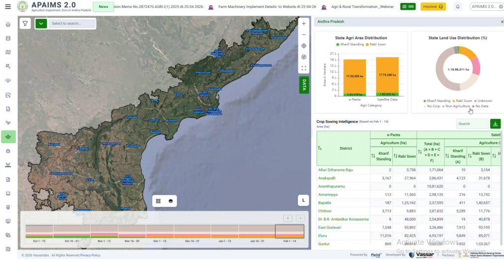
A verified, real-time crop registry doesn’t just make one process faster – it removes the reconciliation gap between departments that has historically caused delayed insurance payouts, subsidy leakage, and disputes over whose crop-area number is “correct.”
How the Digital Crop Survey strengthens insurance and credit access
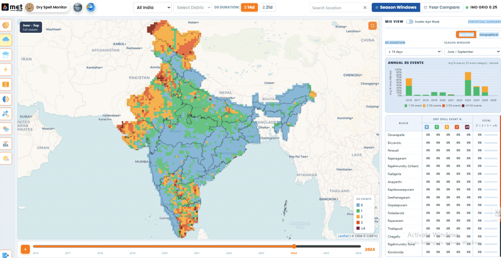
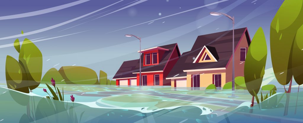
Consider a farmer applying for a crop loan or filing an insurance claim after a poor monsoon. Under the older manual process, the bank or insurer typically had to rely on crop-area figures compiled separately – often weeks or months after the season, and not always matched precisely to that farmer’s specific plot. Disputes over whose figure was correct were common, and settlement could stretch on for months.
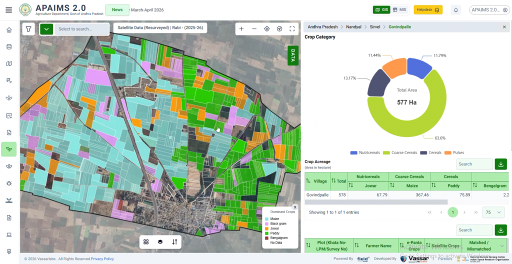
With a verified digital crop registry in place, an insurer or bank can query the same plot-level, geo-tagged crop data that DCS already captured – including which crop was sown, on which plot, and when – without needing a separate, duplicate data-collection exercise. That doesn’t just speed up processing; it also reduces disputes, because the crop-area and crop-type numbers being used for the claim are the same numbers the state itself already verified in the field.
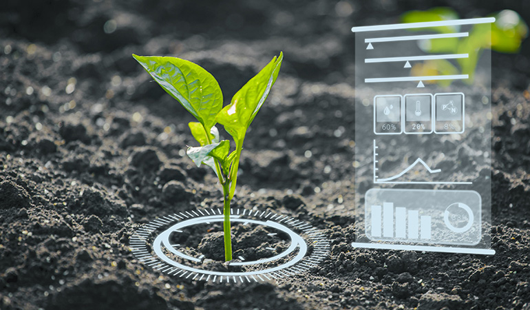
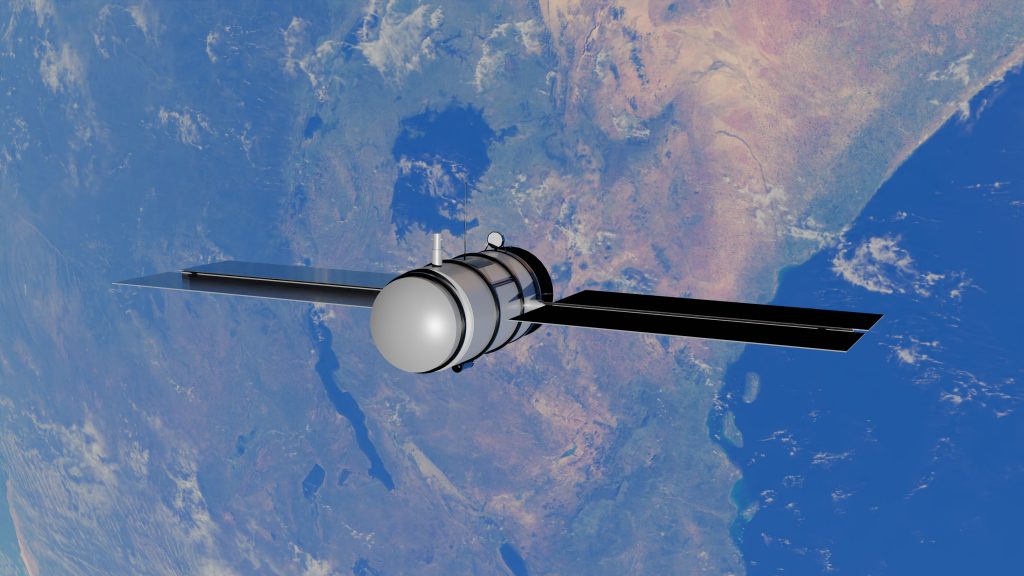
This is also where DCS connects directly to satellite-based yield estimation models like YES-TECH: once a plot’s crop type is confirmed through DCS, satellite-derived yield estimates for that plot become more reliable, because the model no longer has to guess what crop it’s looking at.
Common challenges in a Digital Crop Survey rollout
Base data quality
DCS depends on geo-referenced village maps and digitised land records already existing. In districts where land records are incomplete, fragmented across heirs, or actively disputed, the base layer itself needs work before field capture can even begin – which is often the single biggest source of delay in a state’s rollout timeline, more so than the field app itself.
Enumerator capacity and training
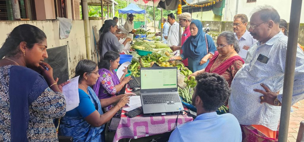
Accurately identifying and geo-tagging crops at the plot level, in the farmer’s presence, at scale across an entire state’s Kharif and Rabi seasons is a significant field operations exercise – it depends on trained, well-supervised local enumerators, not just an app.
Connectivity in the field
Mobile data connectivity in many rural and remote cropping areas remains inconsistent, which shapes how field-capture apps are designed – typically with robust offline capture and delayed sync, rather than assuming constant connectivity.
Farmer consent and data privacy
Because DCS captures identifiable, plot-level data tied to a specific farmer, questions around consent, data access, and who is authorised to use the information for what purpose need clear answers before departments start building services on top of it. This is less a technology problem than a governance one, and states that get it right tend to define these rules explicitly up front rather than resolving them ad hoc once disputes arise.
What states need beyond just deploying the app
DCS is often discussed as if it were purely a mobile-app rollout, but the states that get real value from it treat it as an operating model, not a one-time deployment:
- Trained field capacity – enumerators and extensions who understand both the app and the on-ground realities of crop identification.
- Clean base layers – geo-referenced village maps and digitised land records have to exist before field capture is even possible.
- Integration, not isolation – the crop registry only pays off if insurance, subsidy, and advisory systems are actually built to consume it, rather than continuing to run their own separate crop data.
This is the same integration problem covered in our piece on what makes an agriculture DPI different from a typical government app – DCS is one input layer into that larger architecture, not a system that stands alone.
Frequently asked questions
Is the Digital Crop Survey mandatory for all Indian states?
DCS has been rolled out as a central government initiative that states opt into and scale up over time, rather than a single mandatory nationwide switch-over on a fixed date – which is why coverage has expanded progressively from a handful of pilot districts to hundreds of districts over successive crop seasons.
How is DCS different from earlier satellite-based crop surveys like FASAL?
Earlier satellite-based programmes like FASAL primarily estimate crop area and yield from remote sensing alone, without farm-level, farmer-present verification. DCS adds a plot-level, ground-verified layer that satellite-only estimation couldn’t previously provide, and the two are designed to cross-validate each other.
Who actually captures the data in the field?
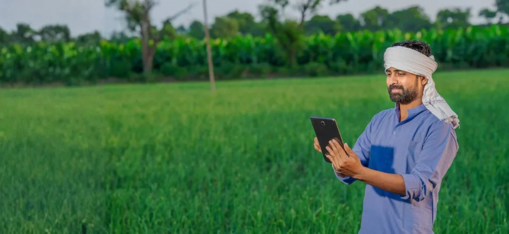
Field capture is typically carried out by trained enumerators, often supported by local youth and Krishi Sakhis engaged under the Digital Agriculture Mission, working directly with the farmer at the plot.
What happens to the data after it’s captured?
Verified crop registry data is intended to be made available to authorised government departments – for insurance, subsidy disbursal, and credit assessment – rather than sitting inside a single department’s system.
Does DCS replace Crop Cutting Experiments entirely?
Not immediately. DCS and the Digital General Crop Estimation Survey are designed to work alongside scientifically designed Crop Cutting Experiments, cross-validating results rather than replacing sample-based yield estimation outright – the two methods are complementary during this transition period, and are expected to remain so until digital coverage and accuracy are consistently validated across every major crop and region.
DCS data is only as useful as what’s built on top of itfieldWISE ingests crop registry data directly into advisory, insurance, and scheme-delivery workflows – turning a compliance dataset into a working decision layer for the state. → See how fieldWISE uses crop registry data |
Further reading
Government of India, Cabinet approval of the Digital Agriculture Mission – Press Information Bureau: https://www.pib.gov.in/PressReleasePage.aspx?PRID=2050966
Related on this blog: Precision Agriculture Explained: From Satellite to Soil · What Is Digital Public Infrastructure for Agriculture?