How Satellite Remote Sensing Is Transforming Indian Agriculture

What multispectral and radar imagery can – and can’t – tell us about a field

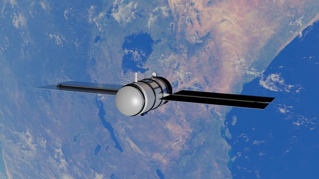
A satellite orbiting 500 kilometres overhead can now tell you more about the health of a wheat field than a person standing in it – not because it sees better, but because it sees differently, and it sees every field in a state on the same day. Satellite remote sensing has moved from a research curiosity to the backbone of how Indian agriculture is monitored at scale.

Why remote sensing matters for agriculture

Before satellite monitoring, understanding crop condition across an entire state meant physically visiting a sample of fields and extrapolating. That approach is inherently limited by how many fields a finite number of field staff can visit in a season. Remote sensing removes that ceiling – the same satellite pass that observes one field observes millions of others simultaneously, at a fraction of the marginal cost per field. What used to require months of field survey work to get a rough state-wide picture can now be refreshed every few days, which changes not just the cost of monitoring but what’s actually possible to monitor – early-season stress, for instance, that would otherwise go unnoticed until it was too late to act on.

The two main types of satellite sensors

Not all satellite data is the same, and the distinction between sensor types explains most of the design choices in Indian agricultural monitoring programmes:

Sensor type What it captures Key limitation
Optical / multispectral (e.g. Resourcesat, Sentinel-2)
Reflectance across visible and infrared bands – vegetation indices like NDVI, crop vigour, chlorophyll
Blocked by cloud cover, a major constraint during India’s monsoon (Kharif) season
Radar / SAR (e.g. RISAT, Sentinel-1)
Backscatter sensitive to vegetation structure and soil moisture, day or night, through cloud
Interpretation is less intuitive than optical imagery; needs more specialised processing

This is why most operational crop-monitoring systems in India combine both: optical imagery when skies are clear, radar imagery to keep monitoring continuous through the monsoon when optical data simply isn’t available.

India’s satellite fleet supporting agriculture

  • Resourcesat-2 and 2A – ISRO’s workhorse optical satellites for agriculture, land use, forestry, and drought monitoring.
  • RISAT-1A (EOS-04) – a C-band SAR satellite supporting all-weather, day-and-night crop monitoring, soil moisture estimation, and flood mapping.
  • EOS-06 – used alongside Resourcesat and EOS-04 in near real-time crop monitoring frameworks for major Rabi crops.
  • Sentinel-1 and Sentinel-2 – the European Space Agency’s freely available radar and optical missions, widely used globally alongside Indian satellites for cross-validation and higher-frequency revisit.

ISRO’s Space Applications Centre has run agricultural remote sensing programmes for decades, including the long-running FASAL initiative (Forecasting Agricultural output using Space, Agro-meteorology and Land-based observations), which produces multiple in-season forecasts for major crops and is operated in coordination with the Mahalanobis National Crop Forecast Centre.

This isn’t purely a domestic effort, either. Indian crop monitoring increasingly draws on international collaboration and freely available global missions – part of a broader trend, reflected in initiatives like GEOGLAM (Group on Earth Observations Global Agricultural Monitoring), toward pooling satellite coverage across countries rather than each government building and operating an entirely separate constellation.

From satellite pass to usable signal

The remote sensing pipeline for agriculture: every satellite programme mentioned above feeds into this same four-step process.

A raw satellite image isn’t directly useful – it has to be corrected for atmospheric interference and cloud contamination, converted into indices like NDVI (a measure of vegetation greenness) or soil moisture estimates, and only then applied to a specific question: is this crop stressed, is this district facing drought, what will this field yield.

WHY COMBINING RADAR AND OPTICAL OUTPERFORMS EITHER ALONE

Research on monsoon cropland mapping in India found that a radar-only approach achieved roughly 90% classification accuracy, while combining radar with optical vegetation indices pushed that to roughly 93% – a meaningful improvement particularly in regions where cropland is interspersed with forest or plantation cover that’s otherwise easy to misclassify.

What this actually enables

  • Crop area and type mapping – classifying what’s growing where, at a district or even village level, without field-by-field visits.
  • Drought and stress monitoring – tracking vegetation health trends through the season to flag areas of concern before they become visible on the ground.
  • Yield forecasting – feeding vegetation indices and biomass estimates into models like FASAL or YES-TECH to project production ahead of harvest.
  • Sowing and harvest tracking – near real-time monitoring of when a crop was sown and its progression, useful for both planning and insurance purposes.

Choosing between satellite, drone, and ground sensors

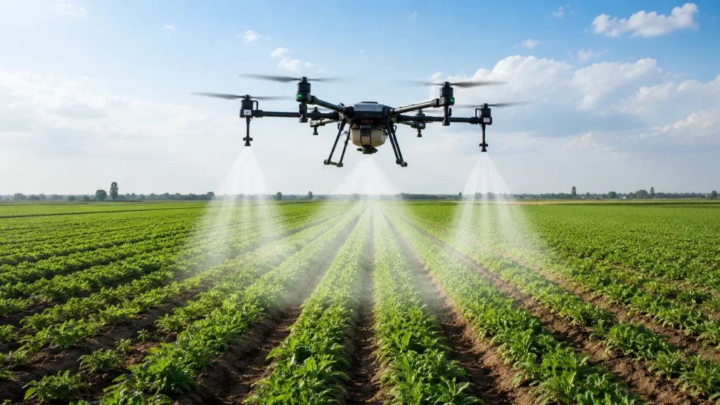
Satellite imagery isn’t always the right tool for a given question – it’s one point on a resolution-versus-cost-versus-frequency tradeoff that also includes drones and ground-based sensors.

Data source Typical resolution Best suited for
Satellite (optical/SAR)
5–30m (medium-resolution missions)
State or district-scale monitoring, trend tracking across a full season
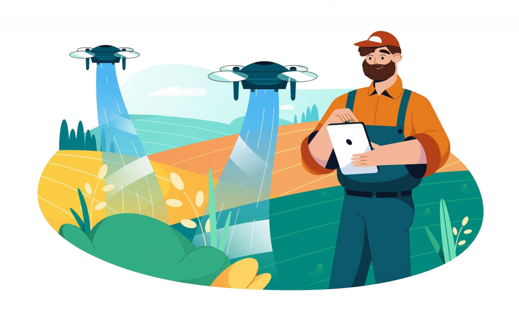
Drone imagery
Centimetre-level
Field-level scouting, verifying a specific stressed area flagged by satellite
Ground sensors (soil, weather)
Point measurement
Precise, continuous local readings a satellite pass simply can’t capture

In practice, an operational state monitoring system rarely relies on just one of these. Satellite imagery typically does the broad, continuous coverage; ground sensors and occasional drone flights fill in the detail where the satellite signal alone leaves a genuine question unanswered – confirming whether a flagged patch is pest damage, waterlogging, or simply a sensor artefact.

From imagery to institutional decision-making

Remote sensing only creates value once its outputs reach the people making decisions – a state agriculture officer prioritising field visits, an insurer processing a claim, an advisory service pushing a irrigation alert to a farmer’s phone. This is the same closing-the-loop challenge covered in our piece on precision agriculture, just operating at state scale rather than field scale: the hardest part usually isn’t capturing the imagery, it’s building the institutional pipeline that turns a vegetation index into a specific action someone actually takes.

What remote sensing still can’t do well

Small, fragmented fields

Even at 10-metre resolution, a single satellite pixel can span multiple smallholder plots in fragmented landholding regions, blending signals from different farmers’ fields into one averaged reading. Higher-resolution commercial imagery or drone data can help, but at a materially higher cost.

Cloud cover during the exact window that matters

Optical satellites are only useful when skies are clear, and critical growth stages sometimes fall during the cloudiest weeks of the monsoon. This is precisely why radar has become a required part of the toolkit, rather than an optional enhancement, for continuous in-season monitoring.

Ground-truthing is still required

Every operational satellite-based crop model – FASAL, YES-TECH, and others – is validated against ground-collected data, not run on satellite imagery alone. Remote sensing extends the reach of ground observation; it doesn’t yet fully replace it, and the programmes that treat it that way – as an extension of field capacity rather than a replacement for it – tend to produce more defensible results.

Frequently asked questions

What is NDVI and why does it come up so often?

NDVI (Normalized Difference Vegetation Index) is a calculation derived from how much red and near-infrared light a surface reflects – healthy, dense vegetation reflects near-infrared strongly and absorbs red light, producing a high NDVI value. It’s one of the most widely used vegetation indices precisely because it’s simple to compute and correlates well with crop vigour.

Is satellite data free or does the government pay for it?

Both models exist. ISRO’s own satellite data is typically made available to Indian government agencies at low or no direct cost for approved applications, while missions like Sentinel-1/2 are freely available globally under the Copernicus programme. Higher-resolution commercial imagery, where used, is licensed separately.

How often is a given field actually observed?

Revisit frequency depends on the satellite – some optical missions revisit the same location every few days, while combining multiple satellites (as most operational systems do) improves the effective revisit rate further. Radar satellites like Sentinel-1 are specifically valued for consistent revisit regardless of weather.

Can remote sensing detect pest or disease outbreaks?

Indirectly. Vegetation stress from pest or disease pressure often shows up as a drop in NDVI or biomass estimates before it’s visually obvious on the ground, which can flag an area for field verification – but satellite imagery alone typically can’t distinguish the specific cause of stress without ground follow-up.

Do state governments need their own satellite, or can they use existing missions?

States don’t need to own satellites. Nearly all operational agricultural monitoring in India draws on data from ISRO’s existing fleet and freely available missions like Sentinel-1/2, accessed through processing platforms and analytics layers built on top – the investment is in the analysis and delivery pipeline, not in launching new satellites, which keeps the barrier to entry for a state agriculture department considerably lower than it might first appear.

Remote sensing that’s built into a working state platform

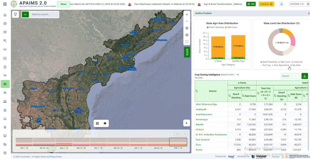
fieldWISE combines optical and radar satellite data into the same crop monitoring and advisory pipeline used across Andhra Pradesh and Kerala – not a standalone imagery feed, but a working decision layer.

→  See how fieldWISE uses satellite data

Further reading

ISRO Space Applications Centre – Agriculture applications of satellite remote sensing: https://www.sac.gov.in/Vyom/Agriculture?lang=en

Related on this blog: Precision Agriculture Explained · YES-TECH, Explained · What Is the Digital Crop Survey (DCS)?
Know More About Vassar's Digital Public Infrastructure for Agriculture

Subscribe Us

Read Our Latest Articles on Climate Technology

Featured Posts

Get In Touch