
AgriStack vs State Agri-DPI: Untangling India’s National and State Digital Agriculture Layers
What AgriStack builds nationally, what states build on top, and where state agriculture departments keep the most control.

What AgriStack builds nationally, what states build on top, and where state agriculture departments keep the most control.
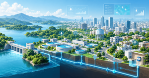
Digital Water Management: Building Smarter Urban Water Utilities with aquaCITY Discover
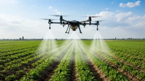
Discover how agriculture drones are transforming Indian farming through precision spraying, crop monitoring, and AI-powered digital agriculture platforms.
What a dedicated Agriculture AI policy actually buys a state government.
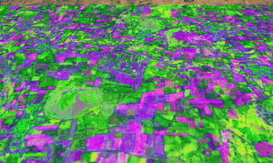
Discover how Vassar Labs uses multi-source satellite, climate and terrain data to build scalable geospatial intelligence.
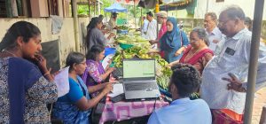
Discover how KATHIR’s Onam eMarketPlace digitised Kerala’s Onam Markets, connecting procurement, sales and transactions across 1,070+ markets.
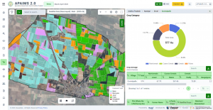
What multispectral and radar imagery can – and can’t – tell us about a field
Moving crop insurance beyond manual crop-cutting experiments.
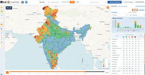
Explore how Repeat Dry Spell Exposure and AI-driven climate intelligence enable proactive drought risk management, water planning, and resilient agriculture.
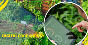
Replacing decades of paper-based crop records with plot-level digital data.
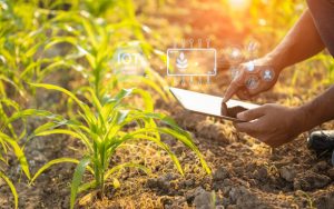
Explore how GIS, sensors, and imagery turn every field into a data point.
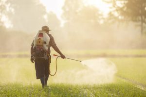
Explore how APAIMS 2.0 enables need-based distribution of subsidized Urea and DAP through digital workflows, helping farmers access the right fertilizer at the right time.
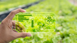
The three-layer model reshaping how governments deliver farm services.
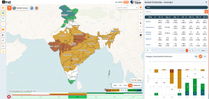
The Future of Disaster Management: Why India Needs AI-Powered Decision Intelligence,
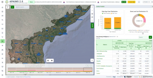
Inside the design of a state-scale agriculture intelligence platform
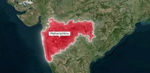
Explore how Maharashtra built agricultural digital public infrastructure using AI, remote sensing, and precision farm mapping technologies.
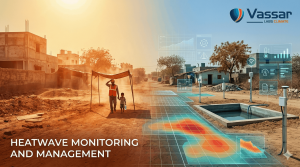
Extreme heat is rising across India. Learn why early heatwave alerts are critical and how Vassar Labs’ metWISE enables block-level forecasting.
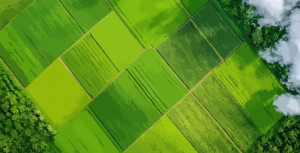
Explore how crop yield forecasting has evolved from traditional statistical models to advanced AI and Physics-Informed Neural Networks (PINNs), powered by satellite data and digital agriculture platforms.
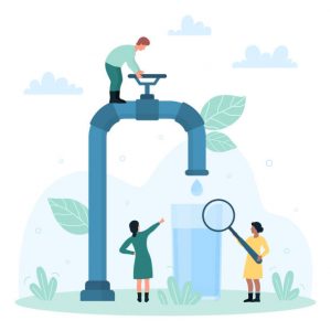
Discover how real-time water quality monitoring with Vassar Labs’ aquaCITY can protect California’s drinking water from PFAS, arsenic, and nitrates. Proven in 8 cities serving 1.3M citizens with 90% billing error reduction and 20% cost savings.

Explore digital twin frameworks for reservoir and dam safety management. Learn how AI-powered tools like aquaWISE tackle ageing dams, sedimentation, climate risks, and water allocation in India.