


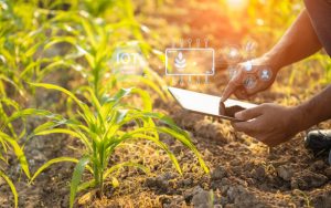
Precision Agriculture Explained: From Satellite to Soil
Explore how GIS, sensors, and imagery turn every field into a data point.

Explore how GIS, sensors, and imagery turn every field into a data point.

Explore how APAIMS 2.0 enables need-based distribution of subsidized Urea and DAP through digital
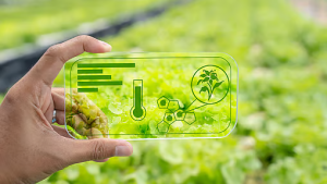
The three-layer model reshaping how governments deliver farm services.
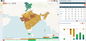
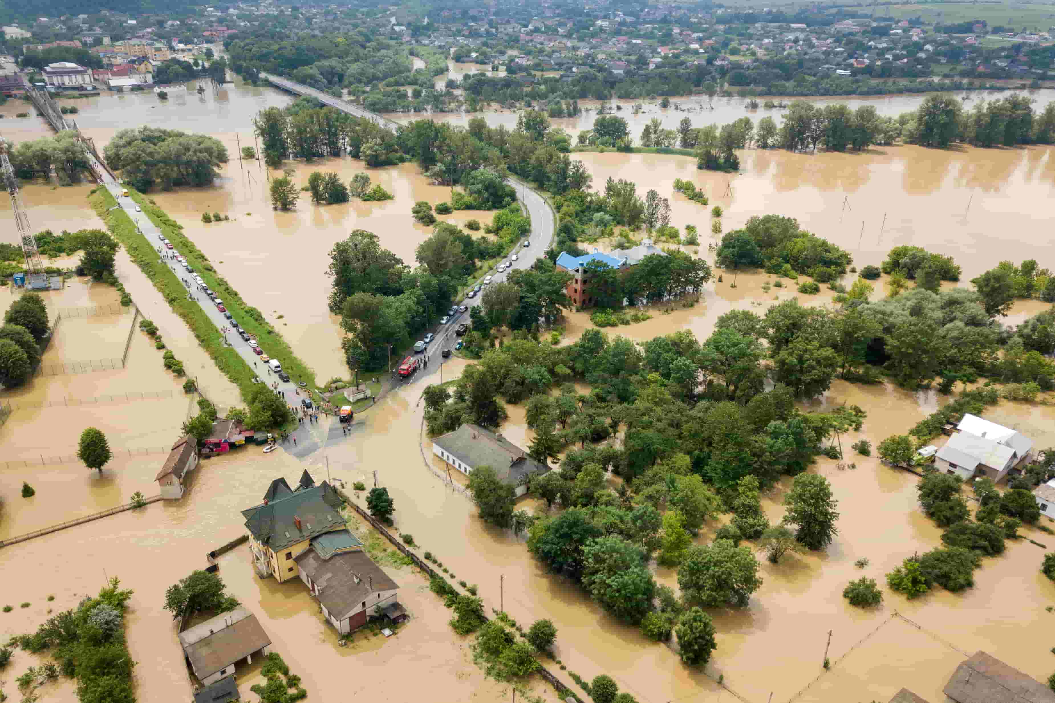
The Future of Disaster Management: Why India Needs AI-Powered Decision Intelligence, Not Just Early
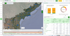
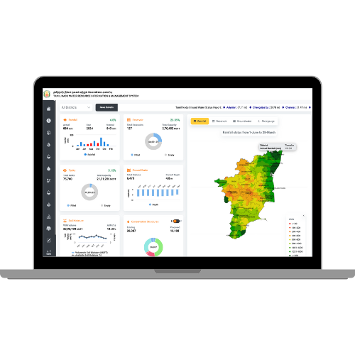
Inside the design of a state-scale agriculture intelligence platform