
Every day, hundreds of Earth observation satellites quietly capture billions of measurements about our planet.
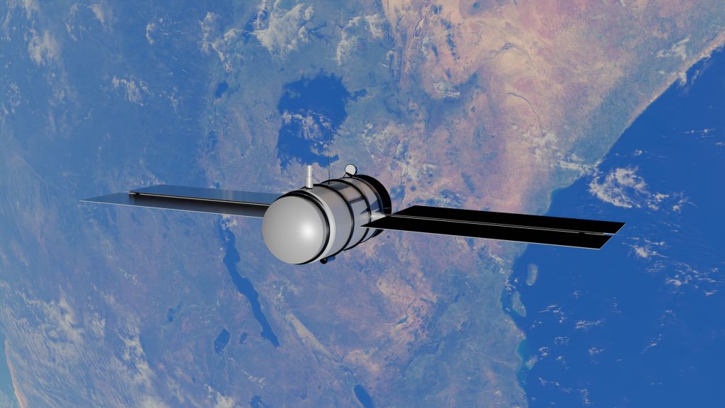
They observe forests changing through seasons over the years, rivers overflowing after rainfall, crops progressing through their growth cycles, cities expanding with the change in landuse/landcover, coastlines shifting by continuous transport erosion and deposition, and landscapes responding to both natural processes and human activity. Optical satellites unveil what we can see, radar satellites observe through clouds and darkness, weather models capture atmospheric dynamics, and terrain datasets provide the physical context of every location on Earth.
Together, these observations represent one of the richest and fastest-growing sources of information humans have ever achieved.
Yet there is a paradox.
Despite having unprecedented access to Earth observation data, extracting meaningful intelligence remains challenging.
Most geospatial applications still begin the same way: gather satellite imagery, preprocess it, align observations from multiple sensors, engineer the task-specific features, train a model, and repeat the entire workflow for the next application. Whether the objective is agricultural monitoring, flood assessment, land-use mapping, or environmental analysis, much of the effort goes into preparing data rather than interpreting it.
As satellite archives continue to grow in both volume and diversity, this approach becomes increasingly expensive, time-consuming, and difficult to scale.
The challenge is no longer collecting data since the data from multiple satellite sensor systems are continuously available. The challenge is utilizing these multi-source datasets together to maximize pattern recognition and information extraction.
Artificial intelligence has fundamentally changed how machines understand language, images, and speech.
Instead of learning every task independently, modern foundation models learn a deep understanding of their domain before being adapted to individual tasks, allowing the same model to support a diverse range of applications. These learned representations capture patterns, relationships, and context hidden within vast amounts of data .
By first learning rich semantic representations from large volumes of data, foundation models create a reusable knowledge base that can be efficiently adapted to numerous downstream applications.
Earth observation is now undergoing the same transformation.
Rather than analysing raw satellite imagery for every new problem, geospatial foundation models learn a shared representation of the Earth’s surface, a compact description that captures how a location behaves across space and time.
These representations, known as geospatial embeddings, are more than compressed data. They are learned descriptions of landscapes, encoding information that would otherwise remain hidden across thousands of satellite observations.
Think of them as a digital signature for every location on Earth. Not a picture, not a classification, but a representation that captures the unique characteristics of that place.
Once generated, these embeddings become a reusable foundation for solving countless geospatial problems.
Our native Geospatial Foundation Model is built to understand the Earth’s surface by learning directly from diverse Earth observation data. By bringing together optical and radar satellite imagery, climate observations, and terrain information, the model generates semantic rich 128-dimensional geospatial embeddings that capture the unique characteristics of every location.
Every day, an immense stream of remote sensing data is collected over our planet. While this data offers unprecedented opportunities to understand the Earth’s changing landscapes, its sheer volume, diversity, and complexity present significant challenges for conventional geospatial workflows. Traditional approaches often rely on handcrafted features and task-specific models, requiring extensive preprocessing, computational resources, and large volumes of labelled data to generate accurate geospatial insights.
Recent advances in geospatial AI have introduced a new way of thinking about Earth observation. Models such as Google DeepMind’s AlphaEarth Foundations, Presto and TESSERA, have demonstrated the value of learning reusable representations directly from large-scale satellite data. For example, AlphaEarth represents each location using a compact 64-dimensional embedding enabling efficient large-scale mapping, while newer foundation models continue to explore different representation strategies and embedding spaces for Earth observation.
Inspired by these advances and driven by the growing need for scalable, operational geospatial intelligence, Team Vassar Labs has developed a native Geospatial Foundation Model. By learning robust, reusable representations from multi-source Earth observation data, our model provides a foundation for building faster, more efficient, and more scalable AI solutions across agriculture, environmental monitoring, land-use mapping, disaster management, and other Earth observation applications.

Our geospatial embeddings are generated using a multi-modal foundation model designed to learn a general representation of the Earth’s surface rather than solve a single downstream task. During pre-training, the model ingests diverse Earth observation data including, optical and radar satellite imagery, climate variables, and terrain information by capturing how every location evolves across space and time.
Instead of relying on manually labelled datasets, the model is trained using self-supervised representation learning. By learning to reconstruct incomplete observations from the surrounding spatial, temporal, and multi-modal context, it discovers the underlying relationships between different Earth observation signals without requiring explicit annotations. This enables the model to learn patterns such as phenologies, moisture regimes, and landscape characteristics directly from the data itself.
Once pre-trained, the model transforms months of Earth observation data into a compact geospatial embedding for every location in a 10×10 meter square resolution. Rather than representing a single image, each embedding captures the cumulative spatial, temporal, and environmental context of that location, forming a reusable foundation for downstream geospatial applications.
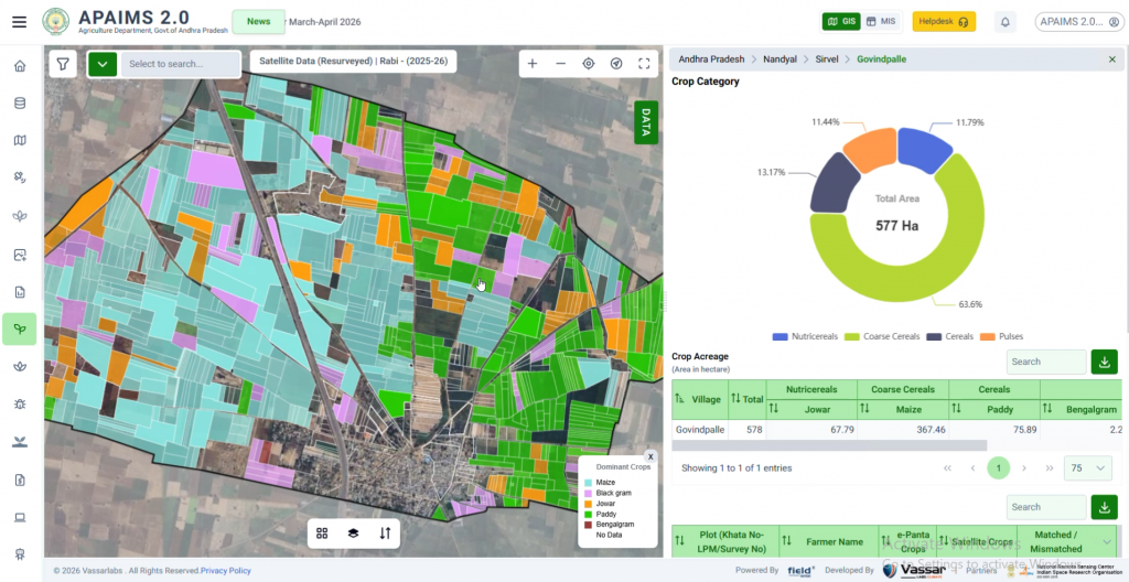
To understand how well our learned representations translate into real-world applications, we evaluated them on one of the most important challenges in Earth observation which is crop mapping. Using the same downstream workflow, we generated crop maps from embeddings produced by both Google DeepMind’s AlphaEarth Foundations and the Vassar Labs Geospatial Foundation Model over the same study area.


FIG-2: Early crop mapping results of Bengalgram crop using embeddings generated by AlphaEarth Foundations fig2(a) and the Vassar Labs Geospatial Foundation Model fig2(b).


FIG-3: Early crop mapping results of maize crop using embeddings generated by AlphaEarth Foundations fig3(a) and the Vassar Labs Geospatial Foundation Model fig3(b).


Fig-4: Early crop mapping results of Bengalgram crop using embeddings generated by AlphaEarth Foundations fig4(a) and the Vassar Labs Geospatial Foundation Model fig4(b).


Fig-5: Early crop mapping results of maize crop using embeddings generated by AlphaEarth Foundations Fig5(a) and the Vassar Labs Geospatial Foundation Mode lFig(b).
Our first set of experiments produced around 80-85% overall accuracy against ground-truth filed data points across Andhra Pradesh. These results are an encouraging first milestone and validate the effectiveness of our geospatial embeddings for downstream crop mapping.
At the same time, we believe there is considerable room for improvement. As our foundation model is the initial step and continues to evolve, we expect richer representations to translate into even more accurate and reliable geospatial intelligence across diverse applications.
At Vassar Labs, we believe the future of geospatial intelligence will not be driven by individual models built for individual problems. It will be driven by foundational representations that understand the Earth first and enable many applications afterwards.
Over the past several months, our research team has been developing a native geospatial embedding foundation model designed specifically for multi-source Earth observation data.
Our goal is simple in principle, yet ambitious in scope:
Transform complex streams of satellite observations into a unified representation flexibility that can serve as the starting point for geospatial intelligence.
Instead of repeatedly processing the raw optical imagery, radar observations, weather variables, and terrain information individually for every application, these diverse data sources are distilled into a single embedding that preserves the spatial, temporal, and environmental context of every location.
This shifts the focus from processing the data to understanding it.
Perhaps the greatest strength of geospatial embedding is that they are not built for one application.
They are built to become the foundation for many.
Once a location has been represented through an embedding, that representation can support a wide spectrum of downstream tasks with relatively lightweight analytical models.
Crop mapping is one such example while flood monitoring is another.
Land-use classification, environmental change detection, ecosystem monitoring, water resource assessment, urban growth analysis, and climate resilience studies all benefit from the same underlying representation of the Earth’s surface.
Instead of developing isolated solutions for each problem, we envision a common foundation that accelerates innovation across the entire geospatial ecosystem.
Each new application builds upon the same understanding of the Earth, rather than starting from raw observations every time.
Building our first Geospatial Foundation Model has been an important milestone for the team. More importantly, it has reinforced our belief that geospatial embeddings can fundamentally change how Earth observation data is used.
Today, much of geospatial AI still begins with raw satellite imagery. Every new application typically starts by collecting, processing, and interpreting the same data all over again. We believe there is a better way. Instead of rebuilding this understanding for every task, a single geospatial representation can serve as a common starting point for many different applications.
This is the direction we’re working towards at Vassar Labs.
Our annual embeddings are the first step in that journey. They demonstrate that complex Geospatial data can be transformed into compact representations that preserve meaningful information about the Earth’s surface while making downstream AI development simpler and more efficient.
At Vassar Labs, we see this as the beginning of a much larger journey. Every milestone has opened new research questions, and answering those questions will continue to shape the evolution of our foundation model. We are continuing to advance our research and as we move forward, our goal remains the same: to build geospatial representations that make Earth observation more powerful, easier to understand, easier to work with, and ultimately more useful for solving real-world problems.
Because the future of Earth observation isn’t just about collecting more satellite data. It’s about helping AI understand what that data is telling us.
Our annual geospatial embedding represents an important first milestone in our journey towards building a general-purpose foundation for Earth observation. While they provide a rich and comprehensive representation of the Earth’s surface, they also highlight exciting opportunities for the next phase of our research.
One of the key challenges is timeliness. Annual embeddings rely on a complete year of Earth observation data, meaning the semantic representations can only be generated once an entire annual cycle has been observed and processed. While this provides a holistic view of the landscape, it also introduces a natural delay for research & development, and operational decision-making. In many real-world scenarios, actionable insights are needed much earlier than the end of the year.
Another important consideration is temporal relevance. Not every Earth observation problem requires an annual perspective. Many applications such as crop mapping &monitoring, disaster response, and environmental change analysis- are driven by processes that unfold over much shorter periods. For these use cases, an annual representation may contain considerably more temporal information than is required, increasing computational overhead without necessarily improving the downstream task.
These observations are shaping the next phase of our research. Our goal is to develop geospatial representations that retain the richness and generality of foundation models while becoming more efficient & responsive and better aligned with the temporal needs of real-world Earth observation applications.
Building our first Geospatial Foundation Model marks an important milestone in Vassar Labs’ journey towards a new generation of geospatial intelligence. By transforming diverse Earth observation data into reusable geospatial representations, we are moving beyond application-specific models towards a common foundation that can support agriculture, disaster management, environmental monitoring, water resources, land-use mapping, and climate resilience.
This journey is also closely aligned with the need for India’s technological and data sovereignty. Developing indigenous geospatial foundation models and representations can help reduce dependence on external technologies, strengthen control over critical Earth observation intelligence, and enable solutions that are designed around India’s diverse landscapes, datasets, operational requirements, and societal needs.
Our annual embeddings are only the beginning. The next phase of our research will focus on making these representations more timely, efficient, and responsive to the temporal requirements of real-world applications. Our vision is to build a unified, indigenous geospatial intelligence foundation for India—one that enables AI to understand how the Earth changes across space and time and makes that intelligence accessible across applications and sectors.
At Vassar Labs, we envision a future where Earth observation is not simply about collecting more data, but about creating a deeper and continuously evolving understanding of our planet. Our goal is to build an India-led geospatial foundation that turns Earth observation into sovereign, scalable, and actionable intelligence for a more resilient and sustainable future.
By Rajesh Katta, Dr. CS Murthy, Dr. Madhuri Rampalli