

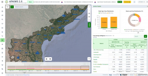
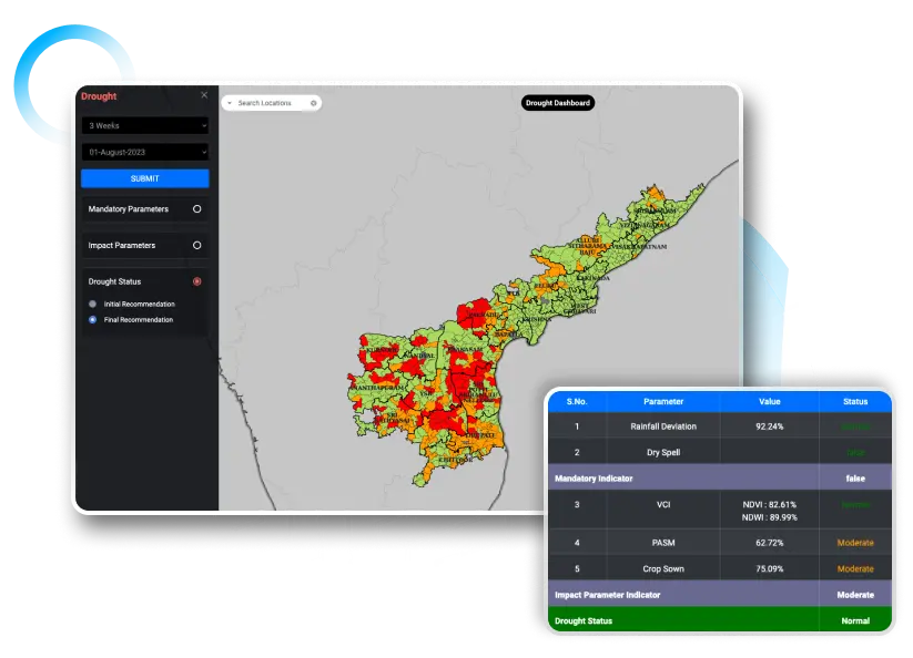
How Andhra Pradesh Built APAIMS
Inside the design of a state-scale agriculture intelligence platform
Vassar Labs has been showcasing its state of the art technological implementations at global scale. Delivering talks at top water event by ADB - demonstrating how AI, IoT, satellite data, and digital twins can transform water resources management. Our solutions are driving real world impact across continents, smarter decisions for a sustainable, climate-secure future

Featured on NDTV, where we discussed the city water crisis and how climate technologies are revolutionizing urban water management. From real-time monitoring to predictive analytics, we highlighted how data-driven insights can empower cities to ensure water security, optimize distribution, and build long term planning


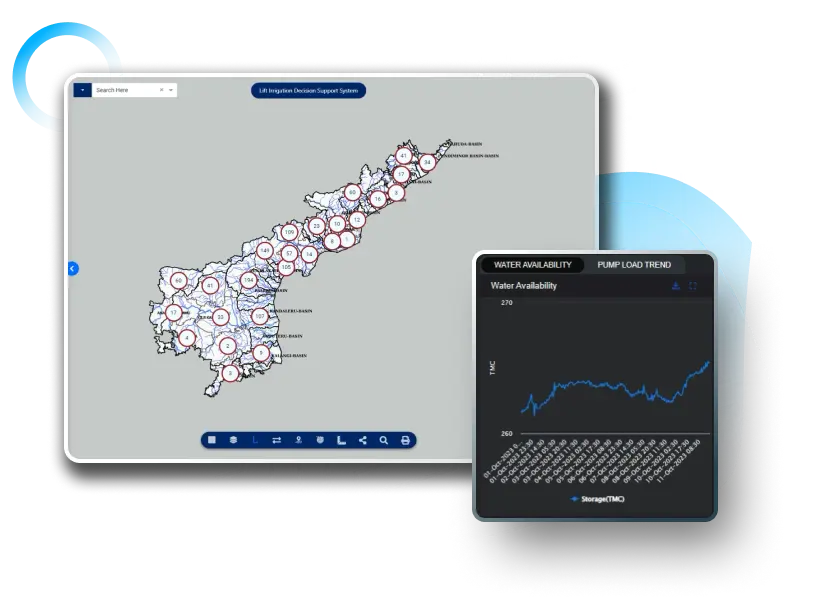
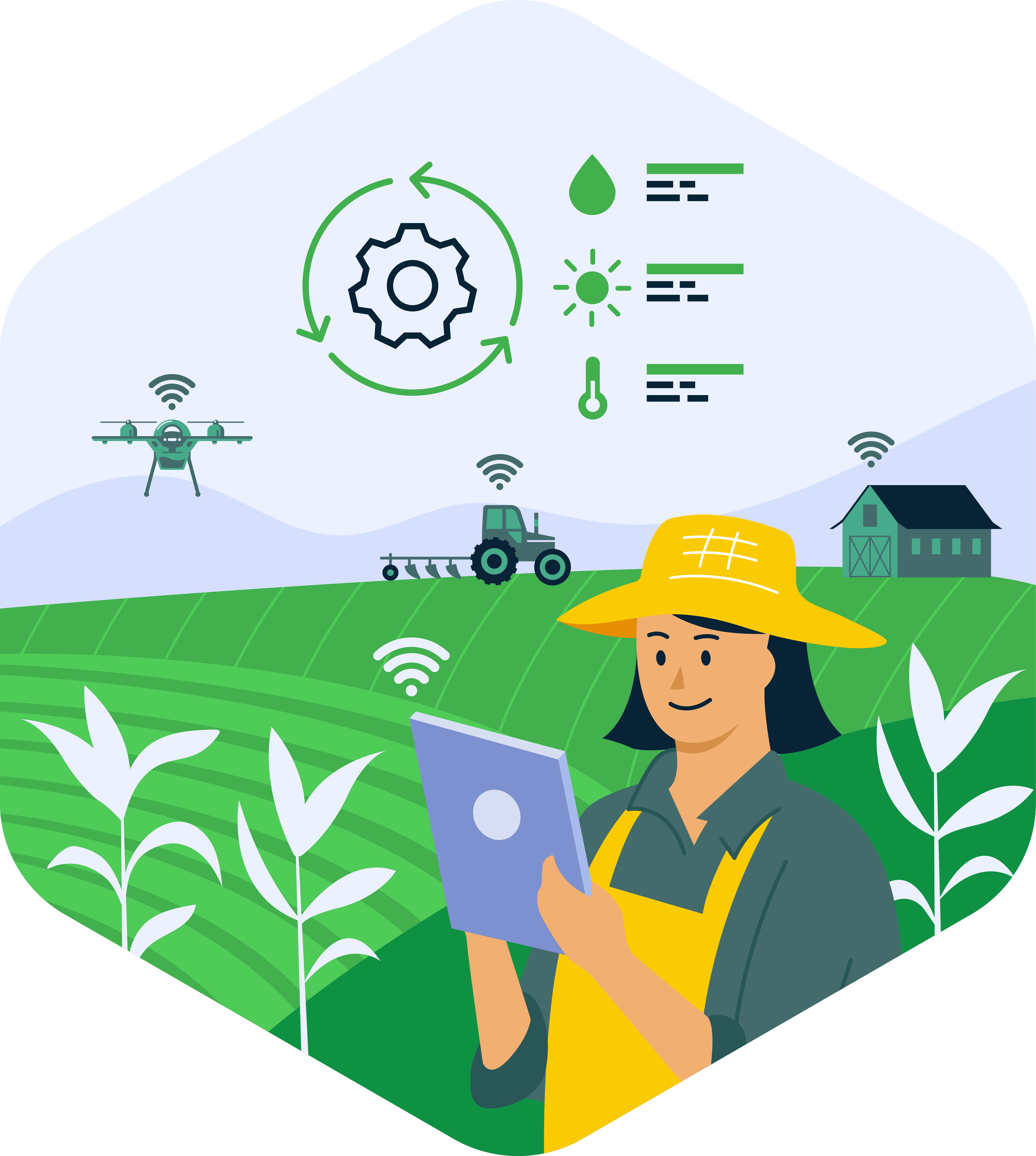
Inside the design of a state-scale agriculture intelligence platform
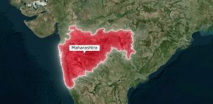
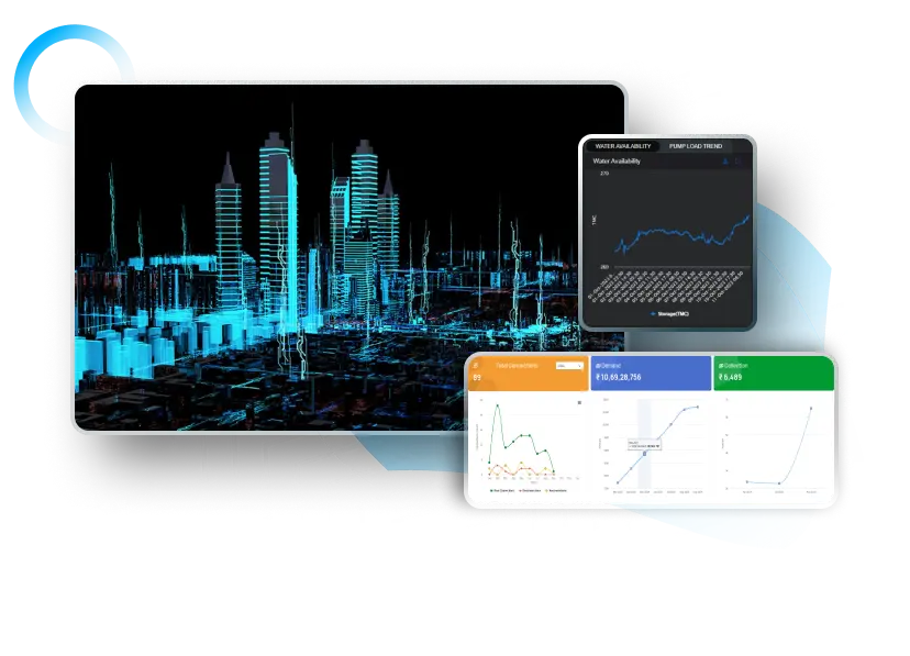
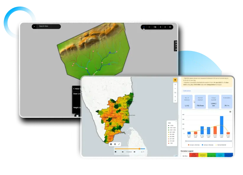
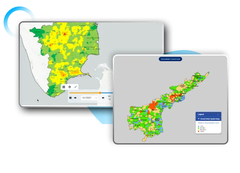
Explore how Maharashtra built agricultural digital public infrastructure using AI, remote sensing, and precision
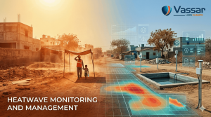
Extreme heat is rising across India. Learn why early heatwave alerts are critical and

Explore how crop yield forecasting has evolved from traditional statistical models to advanced AI
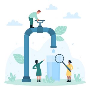
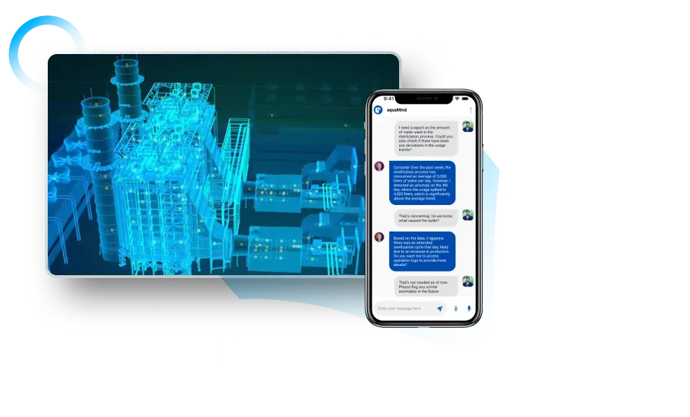
Discover how real-time water quality monitoring with Vassar Labs’ aquaCITY can protect California’s drinking