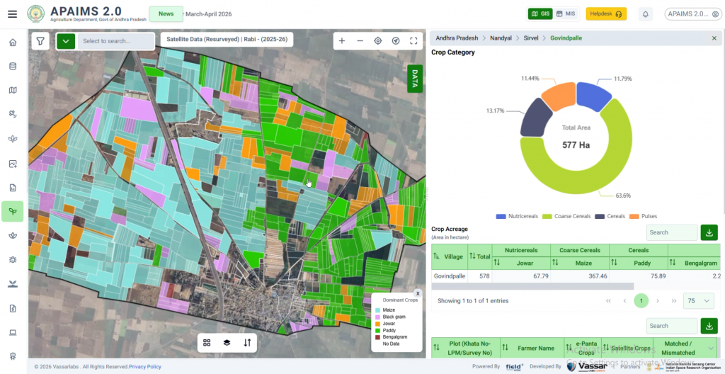
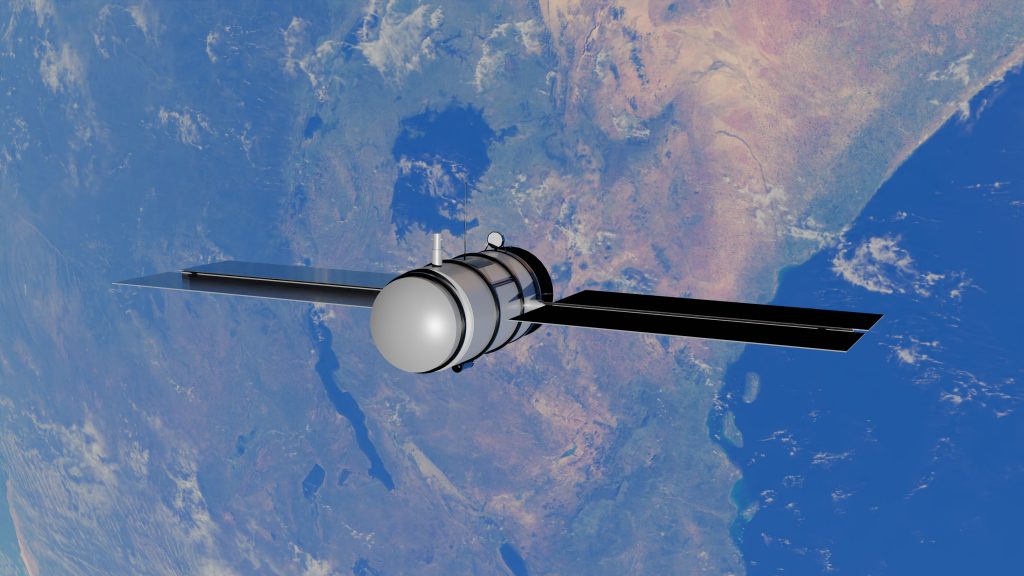
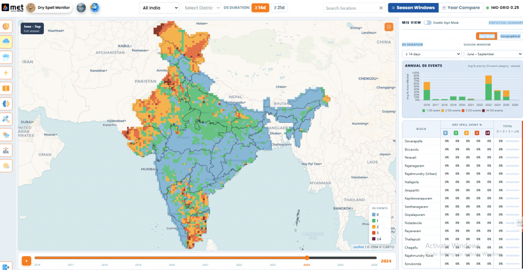
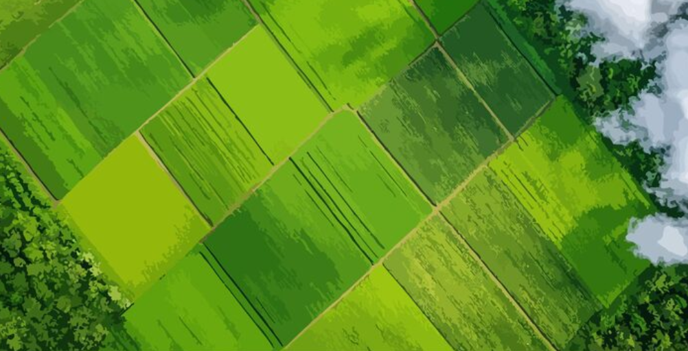
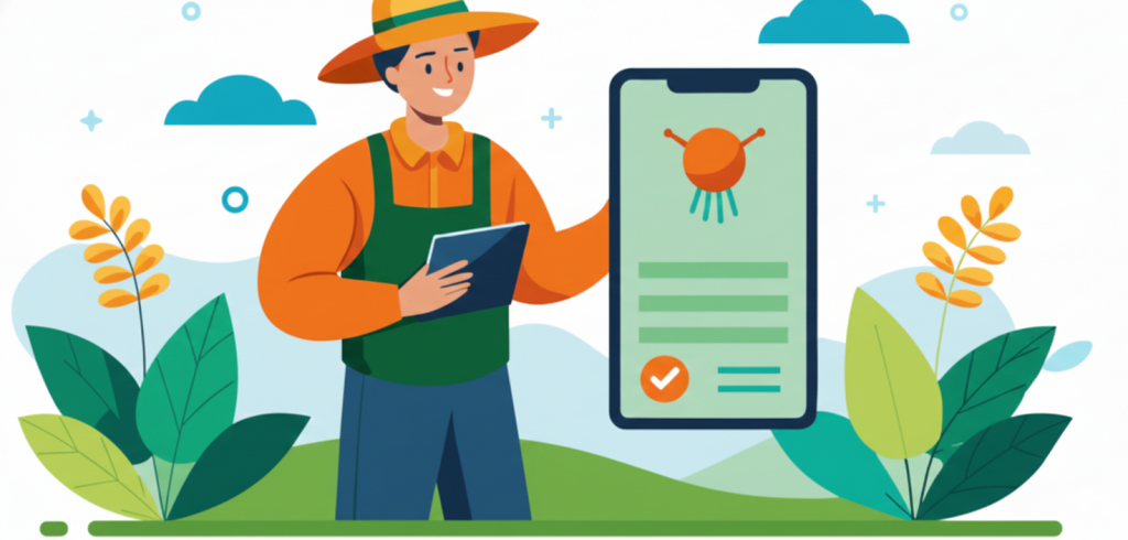
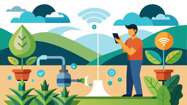
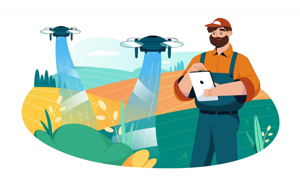
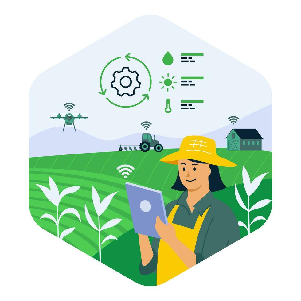
A satellite doesn’t tell a farmer anything directly – it captures a reflectance pattern. The value only appears once that raw signal is processed into something like a vegetation index, cross-checked against weather and soil data, and translated into a specific recommendation: irrigate this section in the next 48 hours, or this patch shows early stress and needs a field visit. The technology is only as good as the last step in that chain.
WHY THIS LOOP MATTERS MORE THAN ANY SINGLE SENSORA field with excellent satellite coverage but no way to turn that data into a timely, specific action delivers almost none of precision agriculture’s value. The hardest part of most precision agriculture deployments isn’t capturing data – it’s closing the loop back to a usable recommendation a farmer can act on the same day. |
Common myths about precision agriculture
“It’s only for large, mechanised farms”
Precision agriculture is often associated with large farms in North America running variable-rate machinery, but the underlying data – satellite imagery, weather, soil moisture – is just as usable on a two-acre smallholding when delivered through a shared advisory service rather than farmer-owned hardware.
“More sensors always means better decisions”
Additional data sources add value only when there’s a working pipeline to process and act on them. A farm with five disconnected data feeds and no integrated decision layer is often worse off than one with two well-integrated sources.
“Precision agriculture replaces farmer judgement”
In practice, it narrows down where a farmer’s attention and judgement are most needed – flagging the specific plots or zones that deserve a closer look – rather than replacing the decision entirely.
What it delivers
Multiple industry and government analyses point in the same broad direction: better-targeted water and fertiliser use, measurable input cost reduction, and improved yield consistency, particularly where inputs were previously applied uniformly regardless of field variation.
The more consistent finding across different studies, regardless of the exact figures used, is directional: farms that adopt even basic precision practices – variable irrigation scheduling, targeted rather than blanket fertiliser application – tend to report lower per-acre input spend without a corresponding drop in yield, which is ultimately the value proposition in one sentence.
The Indian context: real, but uneven, adoption
India’s precision agriculture story looks different from the U.S. or Western Europe. Smallholding fragmentation means the “whole field” is often just a few acres to begin with, connectivity in many farming regions is inconsistent, and the upfront cost of sensors or drones is a real barrier for an individual farmer to absorb.
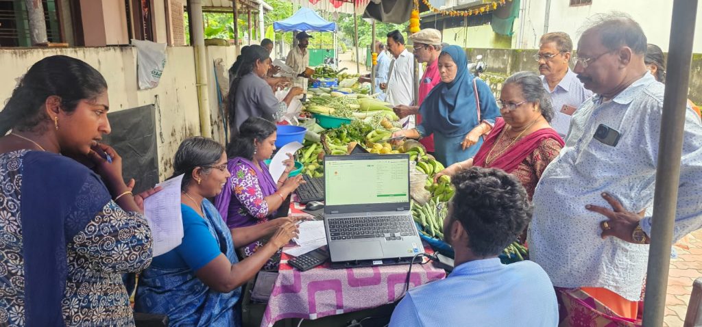
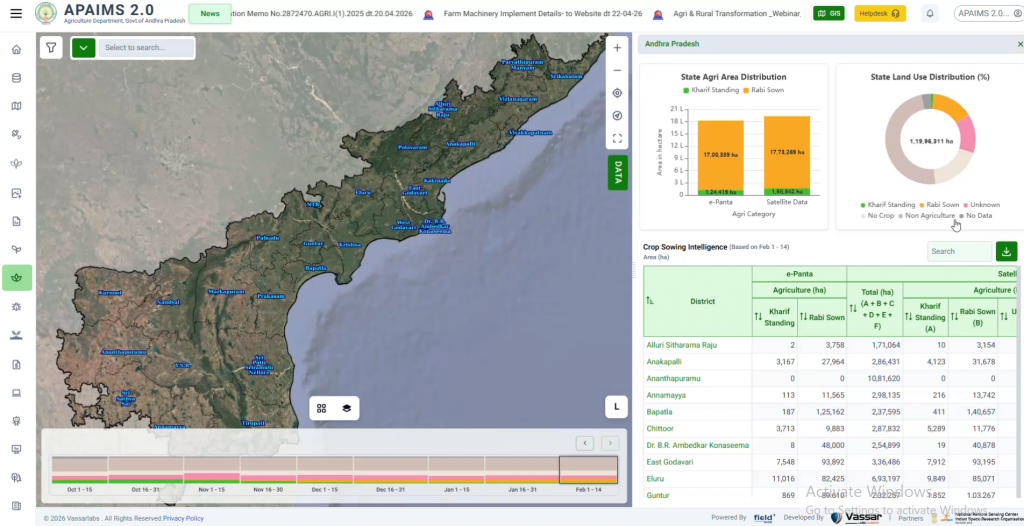
That’s part of why precision agriculture in India is increasingly delivered as a shared government service – satellite monitoring and advisory run at the state level and pushed out to farmers through existing extension networks – rather than something each farmer purchases and operates independently. State agriculture departments are, in effect, becoming the aggregation point that individual smallholders can’t practically be on their own, absorbing the fixed cost of imagery, modelling, and platform infrastructure and distributing the resulting advisory at near-zero marginal cost per farmer.
Precision agriculture and sustainability
Matching input to actual field need isn’t just a cost story – it’s also a resource story. Over-application of fertiliser and water has real environmental costs: nutrient runoff into waterways, groundwater depletion from unnecessary irrigation, and higher greenhouse gas emissions from excess fertiliser production and use. Precision agriculture’s core promise – the right input, in the right place, at the right time – is as much a sustainability lever as a productivity one, which is increasingly why it shows up in state and national climate-resilient agriculture strategies rather than purely productivity-focused ones.
Limitations precision agriculture still needs to solve
Ground-truthing remains expensive
Satellite and sensor models are only as reliable as the ground data used to calibrate them. Building an accurate model for a specific crop and region still requires physically visiting sample fields to confirm what the imagery is showing – an ongoing cost that doesn’t disappear once a model is built, since crop varieties, soil conditions, and farming practices keep evolving.
Model calibration for local conditions
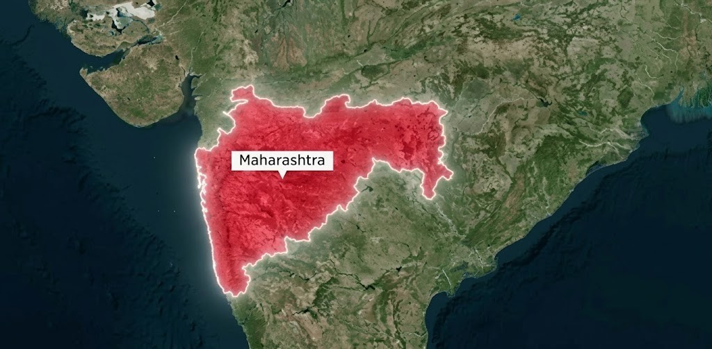
A precision agriculture model trained on wheat fields in one agro-climatic zone won’t necessarily transfer cleanly to a different crop, soil type, or rainfall pattern elsewhere. This is a particular challenge in a country as agro-climatically diverse as India, where the same crop can behave very differently across states – models generally need meaningful local recalibration rather than a single national version.
Interoperability across vendors and data formats
A farmer or state department often ends up with data from multiple precision agriculture providers – different satellite processors, different sensor brands, different advisory platforms – that don’t necessarily share a common data format. This is the same interoperability challenge that shows up in the broader Digital Public Infrastructure conversation, and it’s part of why open standards matter even at the level of individual field sensors and imagery providers.
From field-level precision to state-level intelligence
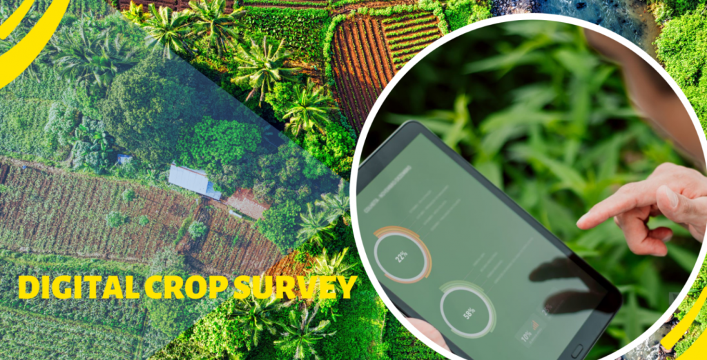
This is also where precision agriculture connects to the broader digital agriculture story. The same satellite and sensor pipelines that power field-level recommendations are the building blocks for state-scale systems – crop monitoring platforms, digital crop surveys, and yield estimation models like YES-TECH all run on this same underlying data pipeline, just aggregated to serve an entire state’s farmers rather than one field at a time.
Frequently asked questions
What’s the difference between precision agriculture and smart farming?
The terms are often used interchangeably. Where a distinction is drawn, “precision agriculture” usually refers specifically to site-specific input management, while “smart farming” is a broader umbrella that includes automation, robotics, and farm management software beyond just input precision.
Do I need my own drone or sensors to benefit from precision agriculture?
Not necessarily. Many precision agriculture benefits – particularly satellite-based crop monitoring and advisory – can be delivered through a shared state or cooperative service without a farmer purchasing any hardware directly.
How accurate is satellite-based crop monitoring?
Accuracy depends heavily on satellite resolution, cloud cover (especially during monsoon season, where radar imagery helps), and how well the model is calibrated to local crop and soil conditions. It’s generally strong for detecting relative stress and change over time, and improving steadily for absolute yield estimation.
Is precision agriculture only relevant to large commercial crops?
No – the same underlying technologies apply to horticulture, plantation crops, and even smaller cash crops, though the specific sensors and models used often need to be tailored to the crop in question.
What data does a precision agriculture system typically need to get started?
At minimum, a field boundary, the crop being grown, and a sowing date are usually enough to generate baseline satellite-based monitoring. Additional data – soil test results, irrigation source, past yield history – improves the precision of recommendations but isn’t always required to begin.
Further Reading
Government of India, Cabinet approval of the Digital Agriculture Mission – Press Information Bureau: https://www.pib.gov.in/PressReleasePage.aspx?PRID=2050966
Related on this blog: What Is Digital Public Infrastructure for Agriculture?