How the platform actually works
APAIMS is built around unified data layers spanning land, crops, weather, and markets – the same underlying architecture pattern covered in our piece on what makes an agriculture DPI different from a typical government app. On top of that shared data foundation, APAIMS 2.0 adds:
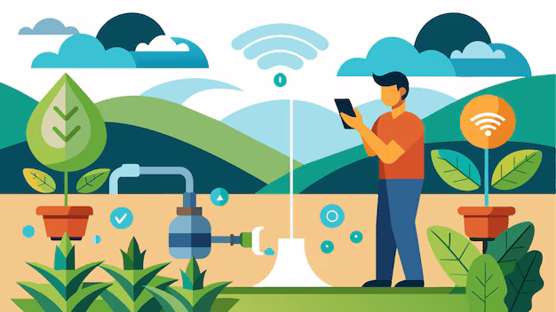
- Farmer Mobile App: Access to Hyperlocal and personalised services for crop planning, agronomy advisories (sowing, fertilization), irrigation advisories, pest forewarning, farm machinery rental, drone services, market prices, crop condition, crop loss, and DTBs.
- AI-driven image-based pest detection – moving diagnosis away from manual field inspection and farmer self-reporting alone, which the state’s own materials note are slow, inconsistent, and hard to scale across millions of acres.
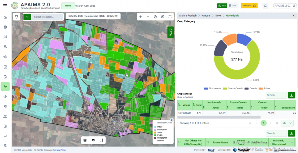
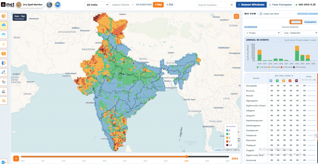
- Remote Sensing and Departmental Dashboards – Crop planning across the state, crop sowing progress, crop classification and acreage, tree counting, crop health monitoring, integrated crop water management, fertilizer requirement/allocation & sales.
- Voice-driven, personalised farmer services – built to work for farmers regardless of literacy or smartphone fluency, not just department officials.
- A unified officer app – consolidating scheme monitoring, field data capture, crop stress farmer verification and workflow automation into a single tool for Mandal Agricultural Officers as well as RSK Officers for Gram Panchayats, rather than several disconnected department systems.
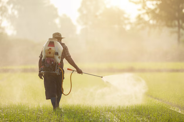
WHY PEST DETECTION IS A MEANINGFUL TEST CASECrop losses to pests are a genuinely large problem – FAO estimates put global crop losses to pests as high as 40% annually, and Indian research on pre- and post-harvest losses puts typical farmer losses in the 10-35% range, higher still for vulnerable crops like cotton in bad outbreak years. Andhra Pradesh had already achieved roughly a 50% reduction in pesticide usage over the prior decade before APAIMS 2.0’s AI-driven detection layer was added – which is the kind of baseline that makes a real technology upgrade meaningfully measurable rather than just aspirational. |
External recognition as a signal, not the point
APAIMS has drawn attention beyond Andhra Pradesh’s borders – including a demonstration for Bill Gates and a study visit from an Ethiopian delegation examining the platform for their own agricultural digitisation efforts. That kind of attention is a useful signal of credibility, but it’s not really the interesting part of the story. The more instructive detail is what made the platform durable enough to attract that attention in the first place: continuous, multi-year investment in the same underlying data architecture, rather than a series of disconnected pilots that each start from zero.
What other states can actually take from this
Phased evolution beats a single big-bang launch
APAIMS didn’t reach its current form in one procurement cycle. Nearly a decade separates the first version from the current one, with the platform’s scope expanding as trust and data quality built up – a pattern worth planning for explicitly, rather than treating year one as the finished product.
Governance-level ownership matters
Andhra Pradesh’s own public framing of APAIMS explicitly describes it as a governance-first approach to AI adoption at the state level, with direct engagement from the state’s political leadership – not a project run entirely inside an IT department with limited visibility to the agriculture department itself.
Officer-facing tools are as important as farmer-facing ones
A meaningful share of APAIMS 2.0’s redesign went into the Mandal Agricultural Officer’s own workflow – not just the farmer-facing app. A platform that makes a field officer’s job structurally easier tends to get used consistently; one that only adds a new farmer app on top of an unchanged officer workflow tends to see much patchier adoption.
The data problem APAIMS actually solves
Before a platform like APAIMS existed, a typical question – which farmers in a given mandal sowed a specific crop this season, and are any of them at risk from a pest outbreak reported nearby – required manually cross-referencing land records, crop registration paperwork, and separately reported field observations, often across different offices. APAIMS’s unified data layer means that same question can be answered directly from the platform, because land, crop, weather, and market data are already linked at the plot level rather than living in separate, disconnected systems.
This is also why the platform’s value compounds over time rather than staying flat. Each additional season of verified crop and pest data makes the next season’s advisories and pest detection more accurate, because the underlying models have more historical, state-specific data to learn from – a benefit that simply isn’t available to a newly launched, data-poor system, regardless of how sophisticated its algorithms are on day one.
How this compares to Kerala’s KATHIR
Andhra Pradesh and Kerala have taken recognisably different paths to a similar underlying goal. Where APAIMS evolved as a single state-operated platform that expanded in scope release over release, Kerala’s KATHIR was designed from the outset around an open-network model, using the Beckn protocol to let multiple service providers plug into a shared farmer-facing layer rather than consolidating everything into one application. Neither approach is strictly superior – they reflect different starting points and different institutional preferences – but both converge on the same core principle: a shared, verified data foundation that multiple services can build on, rather than every new service starting from scratch.
Frequently asked questions
Is APAIMS built and operated by the Andhra Pradesh government alone?
APAIMS was developed by Vassar Labs in partnership with the Government of Andhra Pradesh’s Department of Agriculture, with the government retaining ownership and direction of the platform’s use in departmental operations and full authority over how farmer data is used across schemes.
Does APAIMS replace the national Agristack or Digital Crop Survey?
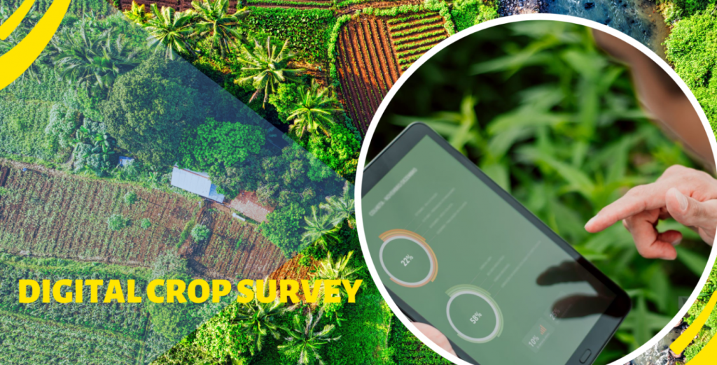
No – APAIMS operates as a state-level service and intelligence layer that can draw on and complement national data infrastructure like the Digital Crop Survey and Agristack, rather than existing as a separate, competing system.
What makes APAIMS 2.0 different from a typical e-governance app?
The AI-driven pest detection, unified data layers spanning land/crop/weather/market data, and voice-driven farmer services go well beyond digitising existing paper processes – APAIMS 2.0 is built to generate new decision-support capability, not just move old workflows online.
Can a smaller state replicate what Andhra Pradesh has done?
The underlying architecture is designed to be state-agnostic – Kerala’s KATHIR platform, for instance, applies similar open-network and data-layer principles in a different state context. What matters more than state size is sustained, multi-year commitment to the same data foundation, rather than the specific scale of the rollout.
How long did it take for APAIMS to reach its current scope?
Close to eight years separate the original 2017-18 launch from APAIMS 2.0’s Kharif 2025 rollout as the state’s sole operational system for agriculture department functions – a timeline that reflects genuine platform evolution rather than a single extended procurement cycle, and one worth keeping in mind when comparing platform maturity across different states.
Further reading
Government of Andhra Pradesh, Department of Agriculture – official APAIMS portal: https://apagriculture.vassarlabs.com/
Related on this blog:
What Is Digital Public Infrastructure for Agriculture?
The Future of Fertilizer Distribution: From Supply-Driven to Need-Based