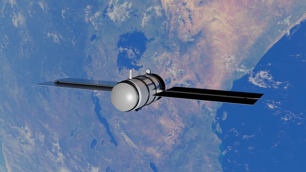
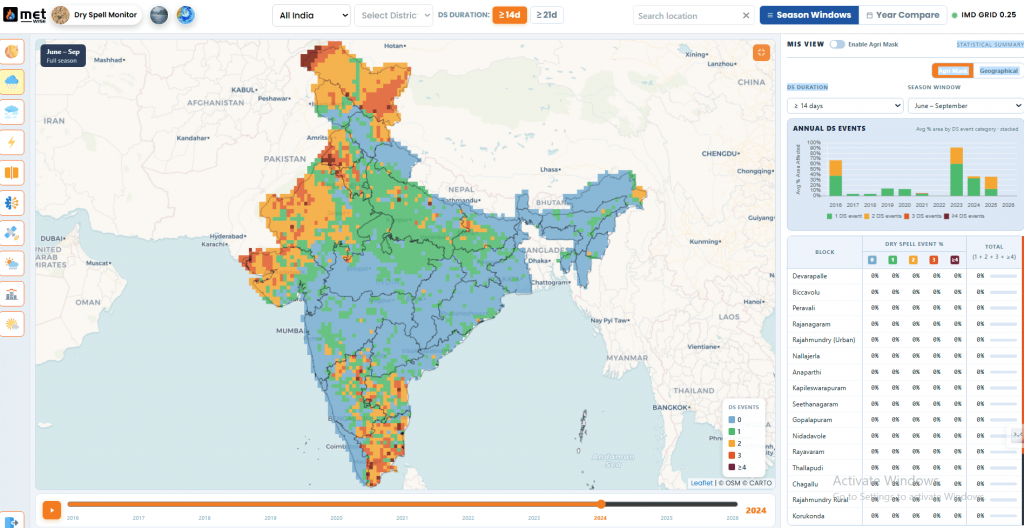
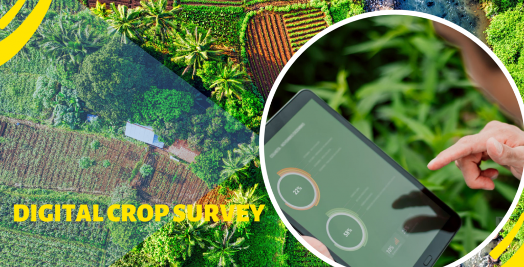
This positioning is exactly why drones tend to complement satellite monitoring rather than compete with it. A satellite pass can flag a stressed patch across an entire district; a drone flight is what actually confirms, at centimetre-level detail, what’s happening in that specific patch – which is precisely the tradeoff already covered in our piece on satellite remote sensing.
The government schemes driving adoption
- Namo Drone Didi – a Central Sector Scheme with a ₹1,261 crore outlay (2024–26), providing drones to roughly 14,500–15,000 Women Self-Help Groups under DAY-NRLM at up to an 80% subsidy, for rental spraying services to farmers.
- Sub-Mission on Agricultural Mechanization (SMAM) – the broader central scheme covering farm equipment including drones, offering subsidies typically in the 40–75% range depending on the applicant category (individual farmer, FPO, Custom Hiring Centre, agricultural graduate).
- Kisan Drone Scheme – launched in February 2022, promoting drone use for crop assessment, spraying, and land record digitisation more broadly.
- Drone Rules, 2021 – the Ministry of Civil Aviation’s simplified regulatory framework, including the Digital Sky Platform for registration and flight permissions, that made routine commercial drone operation practical in the first place.
WHY THE SUBSIDY STRUCTURE MATTERS AS MUCH AS THE TECHNOLOGYA Namo Drone Didi package isn’t just the drone – it typically bundles the spray assembly, spare batteries, chargers, and 15 days of pilot training into a single subsidised unit. That bundling matters because untrained operation and poor battery management are two of the most common reasons a subsidised drone ends up underused within its first year. |
What the reported numbers actually show
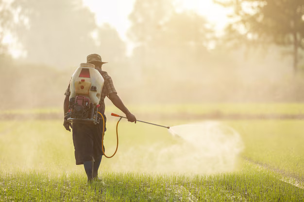
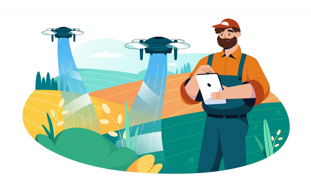
Figures reported across pilots and scheme documentation vary by source, crop, and region, but the directional pattern is consistent: yield increases in the range of 15–30% from more timely and uniform spraying, pesticide use reductions of roughly 30–40% through precision application, and water use reductions of up to 90% compared to traditional spraying methods, since a spraying drone typically uses around 10 litres of water per acre.
The practical limits, current as of today
Battery life and payload
Flight time on a single battery charge typically runs 5–20 minutes depending on the drone model and payload, which means a single operator plans around frequent battery swaps rather than one continuous flight – part of why the standard subsidy package includes multiple spare battery sets.
Pilot certification and training
Operating a drone commercially requires a DGCA Remote Pilot Certificate and a DGCA-certified drone with a valid UIN. This isn’t a paperwork formality – it’s a genuine skills gap in rural areas, which is why training is bundled directly into schemes like Namo Drone Didi rather than left for the operator to arrange separately.
Connectivity for data-driven use cases
Spraying doesn’t strictly need connectivity mid-flight, but mapping and scouting use cases that feed into a broader advisory platform do need a way to get imagery off the drone and into a processing pipeline – a real constraint in parts of rural India with inconsistent mobile data coverage.
Where this fits into the broader digital agriculture picture
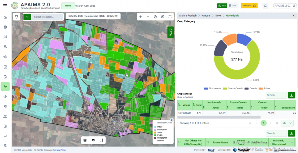
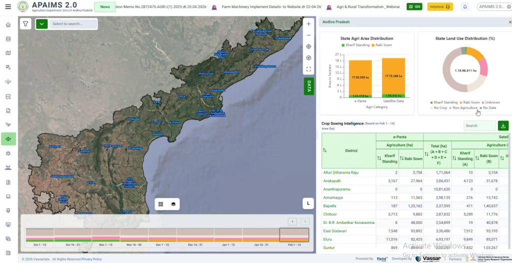
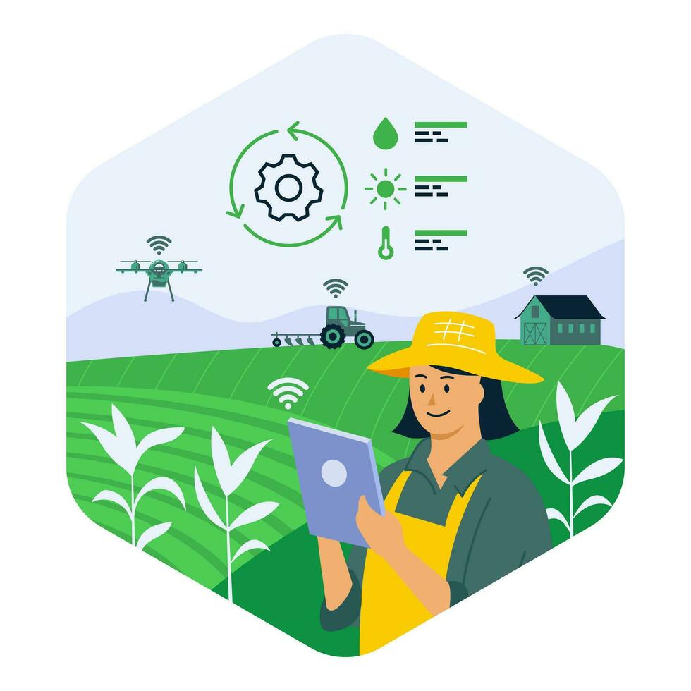
Drone-captured imagery is most valuable when it doesn’t sit in isolation – when a satellite-flagged stress zone automatically triggers a targeted drone flight, and the resulting imagery feeds back into the same crop monitoring and advisory system a state is already running. Treated as a standalone tool, a drone is a faster sprayer. Integrated into a state’s broader agriculture data pipeline – as it is within Andhra Pradesh’s APAIMS, where pest alerts, photo-based confirmation, and drone booking all sit inside one platform – it becomes the ground-truthing and response layer that makes the whole system more trustworthy, not just faster.
Owning a drone versus renting one through a CHC
For an individual small or marginal farmer, buying a drone outright rarely makes economic sense – even with a subsidy, the upfront cost and the ongoing burden of maintenance, battery replacement, and pilot certification are a lot to carry for a tool that’s only needed for a few weeks each season. This is exactly why Custom Hiring Centres (CHCs) have become the dominant ownership model in practice: a CHC, an FPO, or a trained SHG owns and maintains the drone, and individual farmers simply pay for the specific spraying or scouting service they need, when they need it.
The part that determines whether this model actually works well for a farmer isn’t who owns the drone – it’s how easily a farmer can find, book, and trust that service at the exact moment they need it. In Andhra Pradesh, that discovery and booking step runs directly through APAIMS, rather than depending on a farmer informally tracking down a nearby CHC or SHG operator by word of mouth. The same app a farmer already uses for pest alerts, advisories, and scheme information is also where they request a drone spraying visit – turning a traditionally informal, phone-call-based arrangement into a bookable service inside a platform the farmer is already checking regularly.
What this looks like end-to-end on APAIMS
Consider a single farmer receiving an early-warning alert through APAIMS, 14 days before a pest outbreak would typically become visible. Based on weather conditions, crop stage, and historical outbreak patterns, the alert flags a rising pest risk in the field. The farmer photographs the affected crop area and uploads it through the app for AI-based pest identification. The app provides the pest name and estimates the potential yield at risk if left untreated. The farmer can then book a drone-spraying service through the same app, requesting a nearby Namo Drone Didi SHG or Custom Hiring Centre (CHC).
This transforms what was once a multi-day process of identifying damage, seeking expert advice, and arranging treatment into one connected workflow: early warning, confirmation, impact assessment, and service booking, before significant damage occurs.
For the farmer, who owns the drone matters less than access to the service. Whether it belongs to an SHG, CHC, or FPO, APAIMS presents a single, bookable option, much like a ride-hailing app connects users to a vehicle without requiring them to know who owns it. The farmer experiences continuity, from identifying a potential problem to acting on it, all within one platform.
This reflects a broader shift in Indian agricultural mechanisation. Tractors and harvesters moved toward shared, service-based access as equipment became more capital-intensive. Drones are following a similar path. Platforms like APAIMS can make this shared-access model seamless for farmers, connecting them to timely, on-demand services without the burden of owning the equipment themselves.
Domestic manufacturing and the push for self-reliance
Alongside the demand-side subsidies, the government has also funded a Production-Linked Incentive (PLI) scheme – with an outlay in the range of ₹120 crore – specifically to boost domestic drone manufacturing. The logic is straightforward: subsidising farmer-facing drone purchases matters less in the long run if most of that subsidised spending flows to imported hardware. A domestic manufacturing base is what keeps unit costs falling over time and reduces India’s exposure to import restrictions or supply shocks for a technology increasingly treated as agricultural infrastructure rather than a novelty.
Frequently asked questions
Who can access subsidised agriculture drones in India?
Eligibility varies by scheme. Namo Drone Didi is specifically for registered Women Self-Help Groups under DAY-NRLM, while SMAM covers a broader range of applicants including individual farmers, FPOs, Custom Hiring Centres, and agricultural graduates, each with different subsidy tiers.
Do I need a licence to fly an agriculture drone?
Yes – commercial agricultural drone operation requires a DGCA Remote Pilot Certificate and a DGCA type-certified drone with a Unique Identification Number, registered through the Digital Sky Platform.
How does drone spraying compare in cost to manual spraying?
Upfront drone costs are substantially higher than manual sprayers, which is precisely why the subsidy schemes exist – but the ongoing per-acre cost of drone spraying is generally reported as lower once labour time, chemical volume, and water use are all accounted for, particularly at Custom Hiring Centre scale where the drone serves many farmers rather than one, spreading the fixed cost of ownership across a full season’s worth of bookings.
Can a state government deploy drones directly rather than through farmer-facing schemes?
Yes – state agriculture departments increasingly use drones directly for tasks like crop area verification, land record digitisation support, and targeted field inspection, separate from the farmer-facing rental schemes covered above.
Is drone spraying regulated differently from other agricultural chemical application?
The drone itself is regulated under the Drone Rules 2021 and requires DGCA certification, but the chemicals being sprayed remain subject to the same existing pesticide and fertiliser regulations that apply to any application method – the drone changes how the chemical is applied, not what’s permitted to be applied.
Further reading
Government of India, PIB – Namo Drone Didi Operational Guidelines: https://www.pib.gov.in/PressReleasePage.aspx?PRID=2070029
Related on this blog: Case Study: How Andhra Pradesh Built APAIMS · How Satellite Remote Sensing Is Transforming Indian Agriculture · Precision Agriculture Explained · What Is the Digital Crop Survey (DCS)?