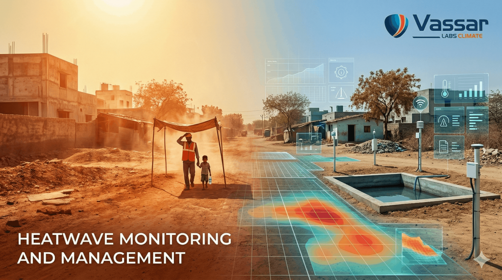
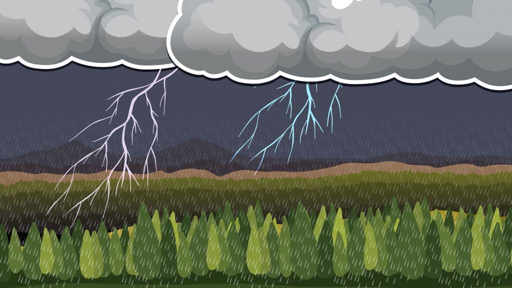
Climate change has fundamentally altered the way disasters unfold across the world. Floods are becoming more frequent, heatwaves are lasting longer, cyclones are intensifying faster, and droughts are stretching across entire seasons. Increasingly, these hazards no longer occur in isolation. A state may experience extreme rainfall in one district, severe heat conditions in another, and water scarcity elsewhere, all within the same week.
The challenge for governments is no longer limited to predicting weather events. The real challenge lies in making timely, informed decisions that protect lives, infrastructure, and livelihoods.
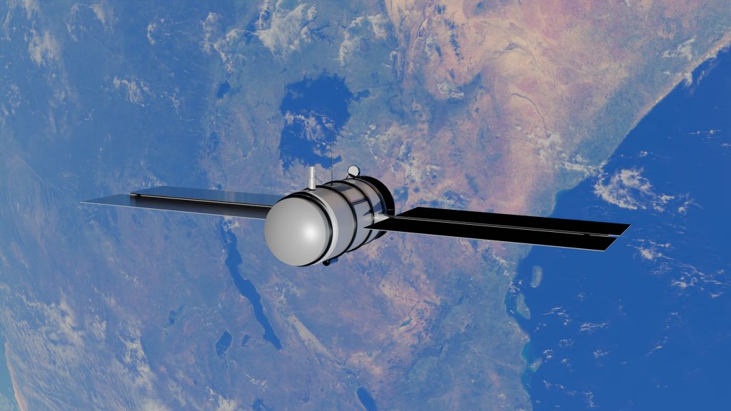
Today, disaster management agencies have access to more data than ever before. Weather forecasts, satellite imagery, radar observations, river gauges, reservoir telemetry, IoT sensors, and numerical weather prediction models continuously generate enormous volumes of information. Yet despite this abundance of data, disasters continue to expose a critical weakness, the inability to transform fragmented information into coordinated action.
As climate risks continue to intensify, disaster resilience will depend less on collecting more data and more on building systems that convert complex information into decisions that governments can trust.
India’s Disaster Management Challenge
With its vast geography and diverse climate, India is among the world’s most disaster-prone nations. Every year, millions of people are affected by floods, cyclones, cloudbursts, lightning, heatwaves, droughts, landslides, and other climate-induced disasters.
From the Himalayan regions vulnerable to flash floods and glacial lake outburst events to the cyclone-prone eastern coastline, from recurring droughts in central India to urban flooding in rapidly growing cities, every region faces a unique combination of risks.
At the same time, disaster management has become increasingly complex.
Multiple departments, including State Disaster Management Authorities (SDMAs), District Disaster Management Authorities (DDMAs), irrigation departments, municipal corporations, water resource agencies, health departments, police, fire services, and local administrations, must work together under severe time pressure.
During an emergency, decisions often need to be taken within minutes.
- Which villages should be evacuated first?
- Which reservoirs require controlled releases?
- Which roads are likely to become inaccessible?
- Where should relief resources be pre-positioned?
- Which districts require immediate alerts?
- How severe is the expected impact over the next 24 hours, or even the next seven days?
These are operational questions, not scientific ones, and answering them requires far more than weather forecasts alone.
More Data Doesn’t Always Mean Better Decisions
Over the last decade, governments have invested heavily in forecasting systems, weather monitoring infrastructure, satellite programs, and digital governance.
The result is a vast ecosystem of data sources.
- Meteorological forecasts provide rainfall predictions.
- Hydrological models estimate river flows.
- Reservoir sensors monitor storage levels.
- Automatic Weather Stations record local weather conditions.
- Earth observation satellites continuously capture land and water conditions.
Each system performs an important function.
The problem is that they often operate independently.
In many emergency operations centres, officers still switch between multiple dashboards, spreadsheets, GIS applications, weather portals, and communication systems before arriving at a decision. Different departments may rely on different datasets, update cycles, or forecasting models, creating delays at the very moment when rapid action is essential.
The challenge is no longer access to information.
The challenge is decision intelligence.
Governments need systems capable of ingesting data from hundreds of sources, validating it, analysing it, prioritising risks, and presenting decision-makers with clear, actionable recommendations, all within a single operational environment.
This is the next evolution of disaster management.
Moving Beyond Early Warning Systems
Traditional early warning systems have played an essential role in reducing disaster risks. However, modern disaster management requires much more than issuing alerts.
A flood warning, for example, is only the beginning.
Authorities must immediately understand:
- Which villages are at risk?
- What is the expected flood depth?
- Which critical infrastructure will be affected?
- Which evacuation routes remain accessible?
- Should reservoirs be operated differently?
- Which response teams should be deployed?
- Where should relief resources be positioned?
- Which communities need immediate communication?
The same principle applies to heatwaves, droughts, cyclones, lightning, and urban flooding.
Forecasts are valuable only when they lead to timely action.
This shift, from forecasting hazards to enabling decisions, is redefining disaster management across the world.
Building Digital Public Infrastructure for Climate Resilience
Recognising this growing need, Vassar Labs has spent more than a decade building digital public infrastructure that helps governments manage some of their most critical climate challenges.
Founded by IIT and MIT alumni, Vassar Labs is an AI-driven climate technology company working at the intersection of disaster risk management, water security, agriculture, and environmental intelligence.
Rather than developing isolated software applications, the company focuses on creating interoperable platforms that integrate data, analytics, artificial intelligence, and operational workflows into systems governments can use every day.
Today, Vassar Labs’ platforms support government agencies across 12+ states and countries, enabling data-driven governance across disaster management, water resources, agriculture, and urban infrastructure.
One of its flagship platforms is metWISE—an AI-powered Disaster Risk Management Platform designed to help governments move beyond monitoring disasters to proactively managing them.
metWISE: India’s Digital Public Infrastructure for Disaster Risk Monitoring and Management
Disaster management is not a single event. It is a continuous cycle of preparedness, monitoring, forecasting, response, recovery, and long-term resilience planning.
Most technology platforms address only one part of this cycle. Some provide weather forecasts. Others visualise satellite imagery. Some generate flood maps. Others manage relief operations. Few bring everything together.
metWISE was designed to bridge these gaps.
It serves as a unified Disaster Risk Management Platform that integrates weather intelligence, hydrological forecasting, geospatial analytics, artificial intelligence, and operational decision support into a single platform.
Instead of requiring emergency managers to interpret multiple disconnected systems, metWISE delivers a consolidated operational picture that helps authorities understand not only what is happening, but also what needs to happen next.
The platform supports the complete disaster management lifecycle, from preparedness and early warning to response, recovery, and post-disaster assessment, allowing agencies to coordinate actions through a common operating environment.
Turning Data Into Actionable Intelligence
At the heart of metWISE lies its AI-powered intelligence engine, which continuously processes information from multiple trusted sources.
These include:
- Numerical Weather Prediction (NWP) models
- Satellite observations
- Automatic Weather Stations (AWS)
- River gauge stations
- Reservoir telemetry
- Hydrological models
- Remote sensing datasets
- IoT-based monitoring infrastructure
- Government weather services
- Historical climate databases
- and others.
Rather than displaying these datasets separately, metWISE analyses and combines them to generate meaningful insights that decision-makers can act upon immediately.
Instead of asking officers to interpret raw weather models or compare multiple forecasts, the platform prioritises risks, identifies vulnerable locations, and presents decision-ready intelligence through intuitive dashboards.
This significantly reduces the time between receiving information and taking action—one of the most critical factors in disaster response.
From Monitoring Hazards to Managing Risks
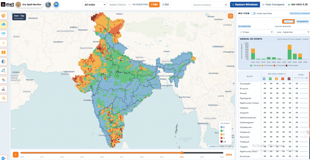
One of the defining strengths of metWISE is its ability to manage multiple hazards through a single integrated platform.
Disaster management agencies rarely deal with only one emergency at a time. During the monsoon season, a state may simultaneously experience:
- River flooding
- Urban flooding
- Reservoir stress
- Landslide risks
- Lightning activity
- Extreme rainfall
- Heat stress in unaffected regions
- Agricultural drought conditions
Managing each hazard through separate software systems creates operational silos, increases response time, and complicates coordination across departments.
metWISE brings these diverse hazards together within a common operational framework, enabling authorities to monitor evolving situations, prioritise response efforts, and allocate resources more effectively.
Rather than functioning as a collection of isolated forecasting tools, the platform acts as an intelligent decision support system for governments operating in increasingly complex climate environments.
Hyperlocal Forecasting That Supports Local Decisions
Disasters are local. A district-wide weather forecast rarely provides the level of detail needed by administrators responsible for individual villages, urban wards, river basins, or critical infrastructure.
metWISE delivers hyperlocal forecasts by combining numerical weather prediction models, satellite observations, remote sensing, and ground-based monitoring systems to generate location-specific insights.
This enables authorities to understand not just whether rainfall or extreme temperatures are expected, but where, when, and how severely they are likely to impact communities. Such localized intelligence allows district administrations to issue targeted warnings, plan evacuations more efficiently, deploy emergency personnel strategically, and reduce unnecessary disruptions in unaffected areas.
Multi-Hazard Intelligence on a Single Platform
Climate risks are becoming increasingly interconnected. Floods may trigger landslides, cyclones may lead to prolonged flooding, and heatwaves can coincide with water shortages and public health emergencies.
Managing each hazard through separate systems often creates fragmented operations and slows down response efforts.
metWISE addresses this challenge through a unified multi-hazard monitoring framework that brings together intelligence for:
- Floods
- Urban flooding
- Cyclones
- Heatwaves
- Droughts
- Lightning
- Cloudbursts
- Cold waves
- Fog
- Earthquakes
- Strong winds
- Other weather-related hazards
Instead of switching between multiple applications, disaster management agencies can monitor evolving risks through a single operational dashboard, improving situational awareness and enabling faster, more coordinated decision-making.
AI-Powered Decision Intelligence
One of metWISE’s defining capabilities is its ability to transform vast amounts of scientific data into practical recommendations for decision-makers.
At the core of the platform is metMIND, Vassar Labs’ AI-powered intelligence engine that continuously ingests data from weather models, satellite imagery, river gauges, reservoir telemetry, automatic weather stations, and other trusted sources.
Rather than simply displaying these datasets, metMIND analyzes them collectively to identify emerging risks, prioritize vulnerable locations, and generate actionable insights.
For emergency operations centres, this means officers spend less time interpreting technical datasets and more time coordinating response activities.
The platform helps answer operational questions such as:
- Which districts require immediate attention?
- Which villages are at the highest risk?
- Which reservoirs may require controlled releases?
- Which infrastructure is likely to be impacted?
- Where should response teams and relief materials be deployed first?
By delivering decision-ready intelligence instead of raw information, metWISE significantly reduces the time between observation and action.
Proven Through Real-World Deployments
Technology is only valuable when it performs under real-world conditions.
metWISE has been deployed across multiple government programs and enterprise initiatives, supporting disaster preparedness and climate resilience at scale.
Deployment | Scale | Scope | Outcomes |
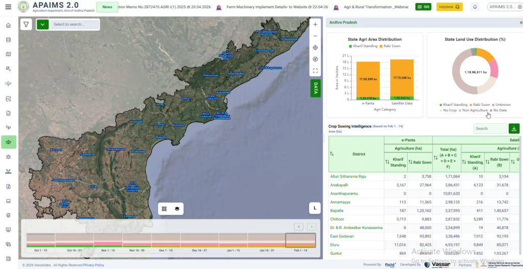
AWARE (Andhra Pradesh) | State-scale | Decision support system covering flood forecasting, urban flood management, and drought monitoring | 537,776 alerts disseminated via WhatsApp during Cyclone Montha; ~20,000 water bodies tracked in real time |
Kerala FFEWS | Basin-scale | Flood Forecasting Early Warning System across the river basin | Real-time flood forecasting with 7-day horizon, 15-minute nowcasting |
GOWATER (Odisha) | State-operational | Live flood alerts integrated into government workflows | 406 reservoirs covered; urban-scale 3D simulations for multiple cities |
TNWRIMS (Tamil Nadu) | State-scale | Statewide water-resources monitoring, forecasting, and field operations for sustainable water governance | 90+ reservoirs under automated simulation and decision-support; real-time monitoring, inflow forecasting, water allocation planning |
Supporting Global Climate Risk Assessment
As climate change accelerates, disaster management can no longer rely solely on forecasts, isolated dashboards, or fragmented information systems.
Governments need integrated platforms capable of transforming complex data into timely, coordinated, and actionable decisions.
This shift—from collecting information to enabling intelligent action—will define the next generation of climate resilience.
With AI-powered analytics, hyperlocal forecasting, multi-hazard intelligence, and proven government deployments, metWISE represents that evolution. It is more than a disaster management platform. It is a decision intelligence platform that helps governments anticipate risks, coordinate responses, and strengthen resilience across the entire disaster management lifecycle.
Because in the face of increasingly complex climate risks, the greatest advantage is no longer having more data, it is having the confidence to make the right decision at the right time.