Agriculture has always been shaped by uncertainty. Weather variability, pest outbreaks, soil conditions, and shifting climate patterns all influence how much food farmers can produce each season. For governments and agribusinesses, predicting crop yields accurately is critical for planning procurement, ensuring food security, stabilizing markets, and guiding agricultural policy.
In a country like India, where agriculture supports nearly half the population, even small forecasting errors can have large consequences for farmers’ incomes and national food systems. According to the Food and Agriculture Organization (FAO), global food production must increase by nearly 50% by 2050 to meet future demand. The required increase in agricultural production will vary by region. Sub-Saharan Africa and South Asia will need to increase their agricultural output by about 112% due to rapid population growth and rising food demand. Reliable yield forecasting therefore plays a vital role in optimizing agricultural productivity and resource planning.
Historically, crop yield estimation relied on field surveys and statistical sampling methods such as crop-cutting experiments. While these approaches remain valuable, they are often labor-intensive, slow, and limited in spatial coverage. As agriculture becomes more data-driven, modern forecasting approaches increasingly rely on satellite imagery, environmental datasets, and AI-powered models to generate faster and more scalable predictions.
This shift marks a major transformation, from traditional statistical models to advanced machine learning and Physics-Informed Neural Networks (PINNs) that integrate agronomic knowledge with data-driven intelligence.
The Era of Traditional Crop Yield Models
Before the rise of AI and remote sensing, most crop yield forecasts relied on statistical regression models that linked historical yields with environmental variables such as rainfall, temperature, and soil characteristics.
These models typically followed a simple approach:
Yield = f (rainfall, temperature, fertilizer use, historical trends)
Government agencies and research institutions used these relationships to estimate crop production for regions or districts. While effective for broad-scale forecasting, these models had several limitations:
- They relied heavily on historical trends, which may not hold under climate change.
- They lacked field-level granularity, making it difficult to identify localized crop stress.
- They were often updated only once or twice per season, limiting real-time insights.
Crop simulation models such as DSSAT (Decision Support System for Agrotechnology Transfer) and APSIM (Agricultural Production Systems Simulator) improved upon these methods by incorporating biological crop growth processes. These models simulate how crops grow based on environmental conditions and management practices.
However, these mechanistic models require detailed input data and calibration, making them difficult to scale across large geographies.
The Satellite Revolution in Yield Forecasting
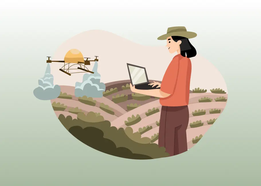
The emergence of Earth observation satellites transformed agricultural monitoring. Instead of relying solely on field surveys, analysts could now observe crop health across millions of hectares using satellite imagery.
Key vegetation indices such as the Normalized Difference Vegetation Index (NDVI) became widely used indicators of crop vigor and biomass. NDVI measures vegetation greenness and is strongly correlated with plant health and productivity.
Research has shown that satellite-derived vegetation indices can significantly improve yield forecasting accuracy, especially when combined with weather data and historical crop information.
Modern agricultural monitoring systems now process satellite imagery from platforms such as:
These datasets provide high-frequency observations of crop conditions throughout the growing season.
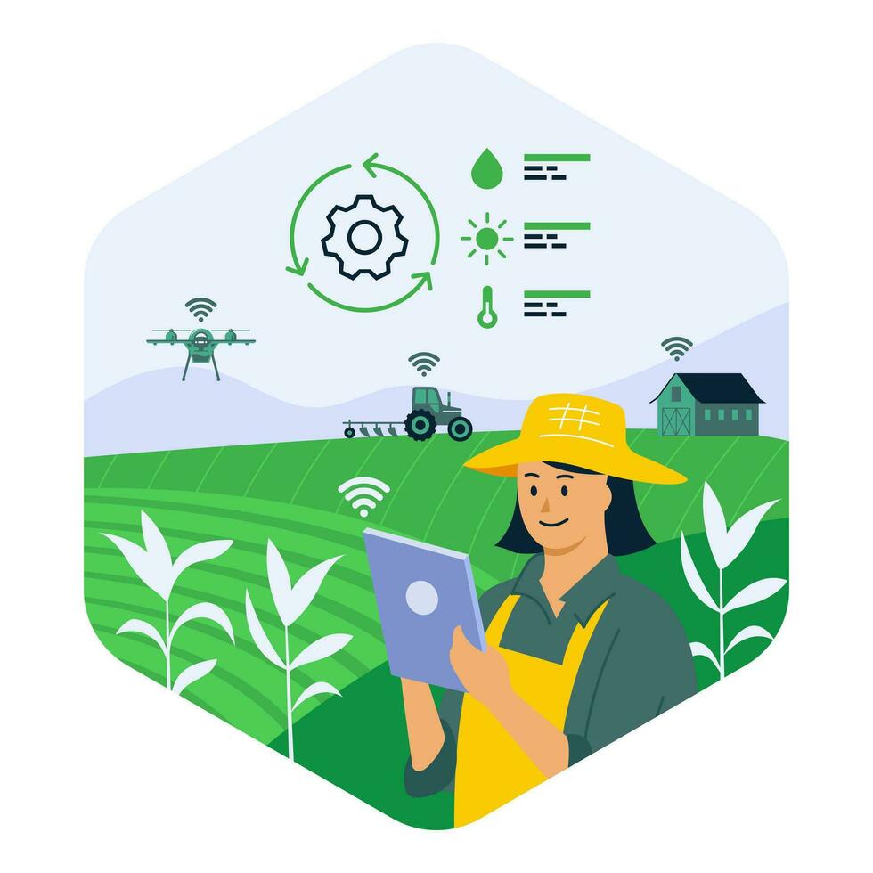
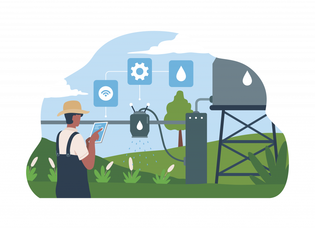
Digital agriculture platforms such as fieldWISE integrate automated satellite data pipelines that retrieve, preprocess, and analyze imagery from multiple sources to monitor crop health at scale. The platform enables users to select an area of interest, retrieve satellite data, compute vegetation indices, and visualize crop conditions through geospatial dashboards.
Such systems allow agricultural agencies and decision-makers to detect early signs of crop stress, enabling more responsive agricultural planning.
The Rise of Machine Learning in Yield Prediction
While satellite data improved visibility into crop conditions, the growing volume of agricultural data required more advanced analytical tools. This led to the adoption of machine learning (ML) models for crop yield forecasting.
Machine learning algorithms such as:
- Random Forest
- Gradient Boosting
- Support Vector Machines
- Deep Neural Networks
can analyze complex relationships between multiple variables including satellite indices, weather data, soil parameters, and crop management practices.
Unlike traditional regression models, ML systems can learn non-linear relationships and continuously improve as more data becomes available.
Studies have shown that machine learning models can significantly outperform conventional yield forecasting approaches when trained on multi-source datasets combining satellite imagery, weather observations, and field measurements.
Within modern agricultural platforms, ML models are often supported by automated geospatial pipelines that process satellite imagery, compute spectral indices, and aggregate data across administrative levels for analysis. These workflows help translate raw geospatial data into actionable insights for agricultural planning.
Enter PINNs: A New Frontier in Agricultural Modeling
Despite the progress of machine learning, purely data-driven models still face challenges. Agricultural systems are governed by complex physical processes such as photosynthesis, evapotranspiration, soil moisture dynamics, and nutrient cycles.
Traditional machine learning models often treat these processes as black boxes, which can reduce interpretability and reliability under new environmental conditions.
This is where Physics-Informed Neural Networks (PINNs) represent a major breakthrough.
PINNs combine the strengths of:
- Machine learning models
- Physical crop growth equations
Instead of learning patterns purely from data, PINNs incorporate known physical laws directly into the neural network training process. This allows models to remain consistent with scientific understanding while learning from real-world observations.
For crop yield forecasting, PINNs can integrate multiple sources of information:
- Satellite-derived vegetation indices
- Weather observations
- Soil characteristics
- Crop growth models
- Historical yield records
This hybrid approach improves both prediction accuracy and model robustness, especially under changing climate conditions.
Recent research highlights the potential of PINNs in agricultural applications, including crop growth modeling, water stress prediction, and yield estimation.
Building Integrated Yield Forecasting Systems
The future of yield forecasting lies not in a single model but in integrated agricultural intelligence systems that combine data pipelines, AI models, and geospatial analytics.
Platforms like fieldWISE demonstrate how modern agricultural technology systems can operationalize this approach. These systems automate the entire workflow, from satellite data acquisition to vegetation index computation and geospatial visualization, enabling continuous monitoring of crop growth across large regions.
Satellite-derived indices such as NDVI, EVI, NDWI, and soil moisture indicators can be computed automatically and visualized through GIS dashboards, allowing analysts to track vegetation health and identify potential yield risks early in the season.
When combined with weather data, crop growth monitoring, and machine learning models, these insights enable governments and agricultural organizations to move from reactive decision-making to predictive agricultural management.
The Future: Towards Predictive, Climate-Resilient Agriculture
As climate variability increases, accurate crop yield forecasting will become even more critical for ensuring food security and protecting farmer livelihoods.
Advances in AI, remote sensing, and geospatial analytics are rapidly transforming how agricultural systems are monitored and managed. Hybrid approaches that combine satellite observations, machine learning, and physics-based models like PINNs offer a promising pathway toward more reliable and scalable yield forecasting.
For governments, agritech companies, and farmers alike, the goal is clear: shift from seasonal estimates to continuous, data-driven crop intelligence.
With the integration of AI-driven modeling, satellite monitoring, and digital agricultural platforms, the next generation of crop yield forecasting will not only predict harvest outcomes, but also help shape smarter agricultural decisions long before the harvest begins.