FLOOD MANAGEMENT WITH AI AND ADVANCED WATER RESOURCE ANALYTICS

Learn more about how AI and advanced water resource analytics are revolutionizing flood management, from monitoring and modeling to forecasting and alert systems, essential for mitigating risks and ensuring effective disaster preparedness.

flood management with ai
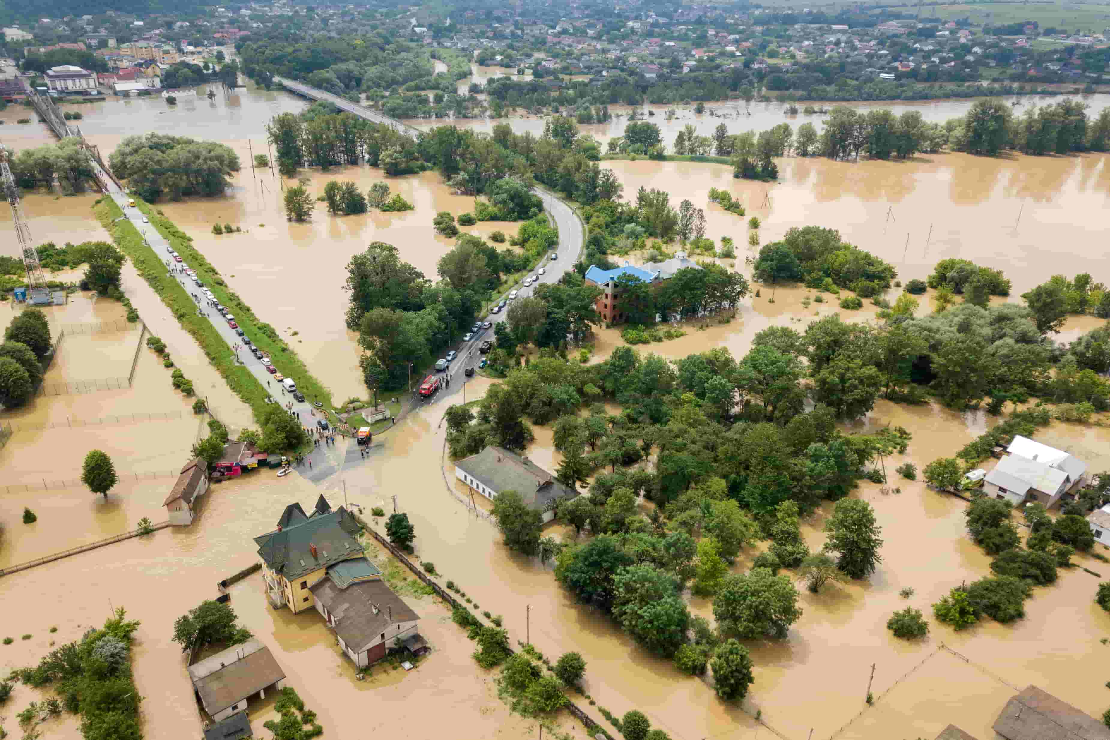
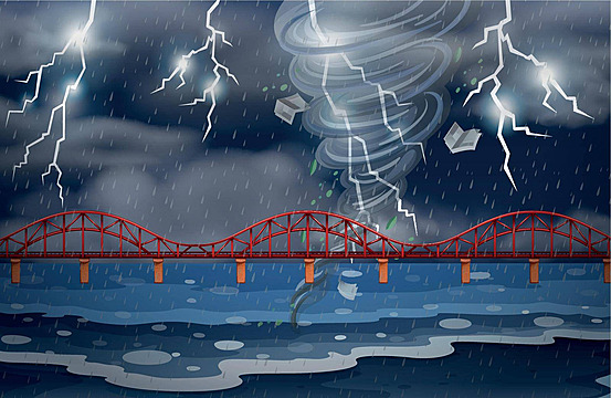
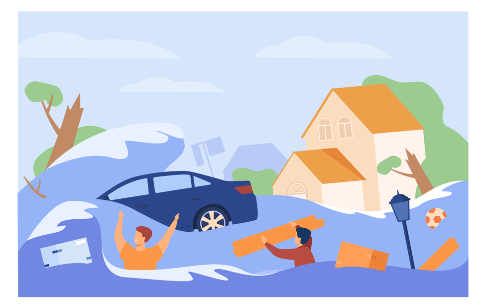
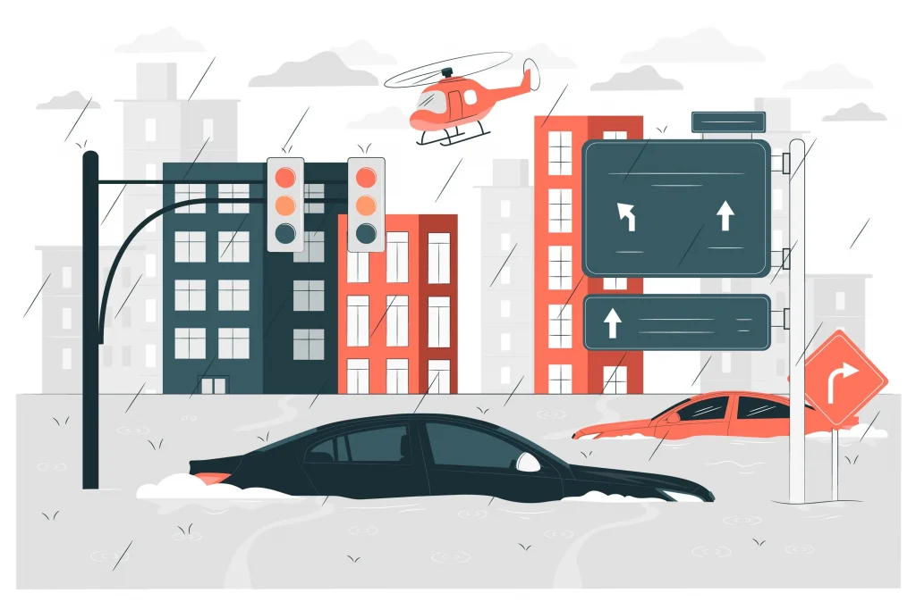
Floods, the most common natural disaster, occur when water overflows onto usually dry land due to heavy rainfall, rapid snowmelt, or storm surges from tropical cyclones or tsunamis. They bring widespread devastation, impacting lives, property, and vital infrastructure.  Three primary types of floods are:
  1. Flash floods, caused by sudden heavy rainfall, rapidly elevate water levels, overwhelming rivers, streams, and roads.
  2. River floods result from prolonged rain or snowmelt, causing rivers to surpass capacity.
  3. Coastal floods, induced by storm surges from tropical cyclones and tsunamis, pose risks to coastal regions.
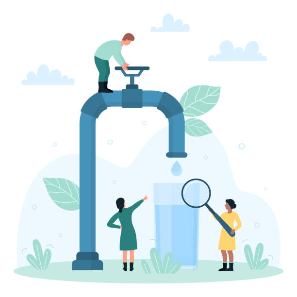
The rising sea levels have led to a surge in shallow, nonfatal floods. These occurrences, often termed high tide floods or “nuisance” floods, happen when the sea spills over onto roads and into storm drains during daily tide cycles.

Impact of floods

According to the WHO, floods and other natural hazards like droughts and tropical cyclones have accounted for 80-90% of documented disasters in the past decade Their frequency and intensity are rising, a trend expected to continue due to climate change. Global economic losses from floods have surged significantly, with projections indicating a rise in the percentage of the population threatened by flooding under various warming scenarios. Flood insurance protection gaps are widening, exacerbating social costs, inequalities, and population displacement. In 2022, floods and flash floods caused approximately 2.8 billion U.S. dollars in property and crop damage across the United States, down from over three billion U.S. dollars the previous year. The highest economic damage occurred in 2017, totalling around 60.7 billion U.S. dollars. In recent years, countries worldwide have intensified efforts to build resilience against flooding, driven by the escalating socio-economic impacts. The rising concentration of people and assets in flood-prone areas, coupled with the increasing severity of weather-related events linked to climate change, has underscored the urgency of proactive flood risk management. Despite strides made in disaster risk management, challenges persist, including policy constraints, institutional silos, and inadequate coordination among stakeholders. Climate change exacerbates these challenges, disrupting weather patterns and amplifying flood risks. Studies emphasize the critical importance of addressing climate change to mitigate flood risks. Climate change is projected to lead to more frequent and intense storms and floods globally, transforming flooding from a localized challenge to a systemic, global threat.

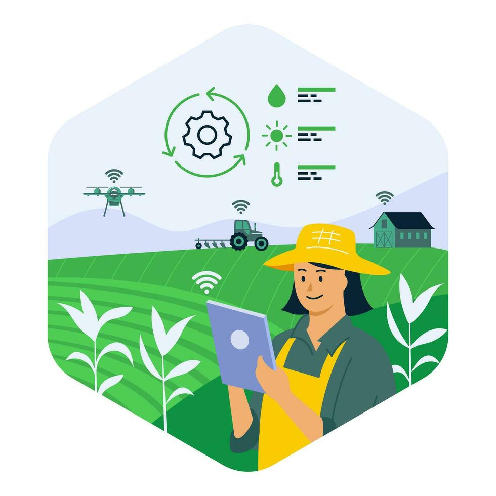
Flood modelling & monitoring systems

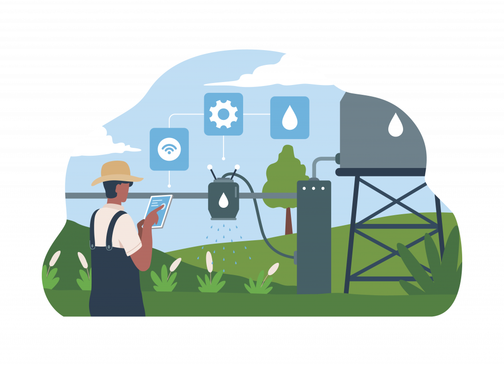
Systems for monitoring and forecasting floods utilize hydrological models, GIS technologies, and AI, Machine Learning, and various methodologies to analyze data from hydrological stations, meteorological and landscape sources. These processes yield predictive outcomes communicated to end-users.

Data aggregation

Several data inputs are required to provide reliable forecasts of flood occurrence and its impact. The frequency and accuracy of the data directly impact the predictions. Some of the inputs used include-

  1. Rainfall Data: Obtained from weather stations, rain gauges, and satellite imagery rainfall data can help monitor precipitation patterns, which helps predict potential flooding.
  2. River Levels Data: Obtained From river gauges and sensors installed along rivers and streams provide information on water levels, aiding in flood forecasting and monitoring.
  3. Weather Forecasts: Predictions on upcoming weather conditions, including rainfall and storms, are crucial for flood prediction. Meteorological agencies and weather forecasting models provide such data,
  4. River Gauges: Measures water levels in rivers and streams, crucial for flood risk assessment, obtained from installations along water bodies by government agencies or research institutions.
  5. Radar Systems: Provides real-time data on precipitation intensity and movement, aiding flood prediction and monitoring, obtained from installations like weather stations or meteorological centers.
  6. Satellite Imagery: Offers a broader view of weather patterns, assisting flood monitoring, obtained from satellite systems equipped with sensors.
  7. Other Hydrological Parameters: Sensors and monitoring stations provide factors such as soil moisture and streamflow which offer insights into flooding potential.

AI & modelling

By integrating real-time data, machine learning, and modelling can be used to create flood models and monitoring systems. Authorities can forecast inflow conditions and take quick decisions to issue alerts and take precautionary measures.

Data analytics and modeling can also help simulate flooding or water levels in different scenarios. Users can understand the extent and depth of inundation by adjusting input parameters, antecedent moisture conditions, reservoir status, and more. 

The flood’s impact encompasses various factors such as the population within the flooding zone, and the count of houses and bridges affected, among others. Simulation results provide a comprehensive understanding of flood dynamics, enabling decision-makers to strategize preventive and remedial measures more effectively.

Flood alerts & advisories

By analyzing observed and forecasted inflow data, systems can generate alerts and advisories to stakeholders. Alerts can be triggered at high inflow which indicates potential flooding, low inflow which indicates decreased water availability, and rapid inflow changes. Long-range inflow forecasts can enable authorities to issue long-term water allocation and infrastructure management advisories.

Industries that benefit from this

Flood modeling and monitoring systems are used across various industries, including government and public sectors, insurance, infrastructure development, water resource management, real estate, and emergency services. Industries use these systems to assess flood risks, plan mitigation strategies, optimize water release strategies, and plan emergency response operations.

 In agriculture, flood modeling systems are crucial for assessing the impact of floods on crop yields, implementing measures to protect crops and livestock, and managing soil fertility, and water resources effectively. Overall, flood modeling and monitoring systems play a crucial role in enhancing decision-making, mitigating risks, and minimizing the impact of floods on lives, property, and the environment.

How Vassar Labs is combating floods

aquaFLOOD powered by the aquaWISE platform is an advanced flood forecasting and management system designed to provide accurate and timely information about potential flooding events, including inflow forecasts and resulting inundation patterns. By leveraging real-time hydrological and meteorological data, aquaFLOOD enables authorities to track the progression of floods, assess their severity, and make informed decisions based on up-to-date information. 

Aligned with Vassar Labs’ vision of leveraging technology to address prominent climate issues, aquaFLOOD supports sustainable water management and disaster preparedness, contributing to several United Nations Sustainable Development Goals (SDGs). It advances SDG 13 (Climate Action) by enhancing resilience to climate-related hazards, SDG 11 (Sustainable Cities and Communities) by improving urban disaster management, and SDG 6 (Clean Water and Sanitation) by ensuring effective water management during flood events.

AquaFLOOD is deployed across multiple states and multiple basins. The states include Kerala, Telangana, Andhra Pradesh, Odisha (11 basins), Tamil Nadu (17 basins)

Know More About aquaWISE - Smart Water Management Solutions

Get In Touch