Pests and diseases silently erode India’s agricultural output every year. Estimates from the Food and Agriculture Organization (FAO) show that global crop losses due to pests can reach up to 40% annually, putting immense pressure on food systems and farmer livelihoods.
According to a research on Assessment of Pre and Post Harvest Losses of Important Crops in India, farmers in India typically lose 10-35% of their yields to pest attacks, with vulnerable crops like cotton facing losses as high as 50% in severe outbreak years. Andhra Pradesh, despite achieving nearly a 50% reduction in pesticide usage over the last decade, continues to struggle with recurring pest-related losses. Rapidly changing climate patterns, cyclones, altered humidity levels, and shifting pest habitats have made conventional pest surveillance increasingly ineffective.
Traditionally, pest detection depended on manual field visits, visual inspections, and delayed reporting – methods that often fail to catch early symptoms before they spread across villages and districts. This lag not only reduces yields but also drives up input costs as farmers resort to broad-spectrum chemical treatments without accurate diagnosis.
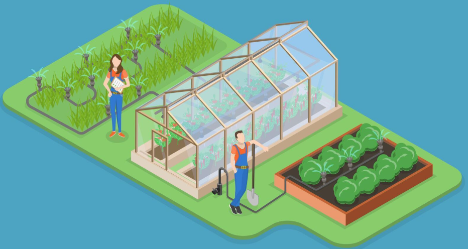
But a quiet transformation is underway. Andhra Pradesh is now embracing a new wave of AI-led digital agriculture. With APAIMS 2.0 at the core of its digital public infrastructure, the state is building a system where farmers and field officers no longer rely solely on manual checks or delayed advisories. Technology is now enabling real-time visibility into crop conditions, early detection of emerging threats, and quicker, more targeted interventions.
Why Early Pest and Disease Detection Matters More Than Ever
Research on The Impact of Climate Change on Agricultural Insect Pests confirms that climate variability is directly linked to increasing pest incidence and expansion of invasive species, placing additional pressure on already vulnerable farming communities.
Traditional detection methods such as field inspections, manual scouting, and farmer self-reporting, are often slow, inconsistent, and unable to scale across millions of acres. This delay in identifying early symptoms means that by the time an officer reaches the field, the pest may have already intensified or spread across multiple neighboring plots.
These challenges have long contributed to:
- Crop losses that could have been prevented
- Overuse of pesticides due to misdiagnosis
- Delays in issuing early advisories
- Limited visibility for district-level decision-makers
This is where AI and image analytics fundamentally transform the landscape. AI-based detection offers:
- Instant diagnosis from a field photo
- Early warnings that help prevent outbreaks
- Reduction in unnecessary pesticide use
- Scalable surveillance, covering thousands of acres without deploying physical staff
Early detection is no longer just beneficial – it is essential for building climate-resilient agriculture.
Inside the APAIMS Pictorial Analysis Engine
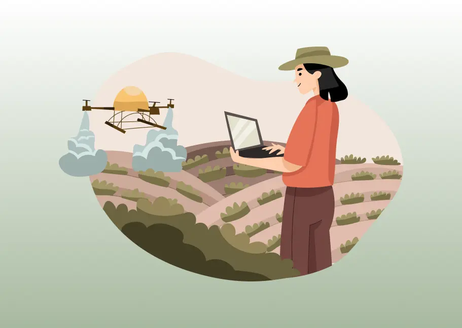
The ‘Pictorial Analysis for Pest & Disease Detection’ feature in APAIMS 2.0 brings this vision to life by offering a real-time, image-based crop diagnosis system that supports farmers, field officers, and state-level planners alike.
At a high level, the system operates through a streamlined workflow designed for accuracy and scale. Farmers and officers capture geo-tagged, timestamped crop images through the APAIMS mobile application. These images are processed to ensure quality and sent into an expert annotation workflow, where trained agronomists validate and categorize symptoms. This creates a growing repository of AI-ready datasets.
Machine learning models are then trained on these curated datasets, enabling the system to recognize patterns such as discoloration, lesions, or pest damage indicators. Once deployed, the prediction engine can evaluate new images in seconds and provide likely diagnoses along with suggested interventions.
Dashboards integrated across district and state levels allow officials to monitor emerging hotspots, visualize outbreak clusters, and prioritize field inspections – turning scattered observations into a coherent, statewide pest surveillance system.
This combination of structured data capture, expert validation, and AI-driven insights positions APAIMS 2.0 as one of the most advanced agricultural diagnostic platforms deployed at the state level in India.
On-the-Ground Use Cases: How AP Farmers & Officers Benefit
The true impact of AI-driven image detection is not just in the technology itself, but in how it transforms day-to-day decision-making for farmers and agriculture officers across Andhra Pradesh.
Farmers Get Early, Reliable Diagnosis
For farmers, the difference is immediate and tangible. Instead of waiting days for an agriculture officer to inspect a field, often after damage has worsened, farmers can now upload an image through the APAIMS app and receive instant diagnosis. This reduces uncertainty and prevents the common practice of using broad-spectrum pesticides, which increases costs and harms soil health.
Early, accurate identification:
- Prevents avoidable yield loss
- Lowers input costs through targeted treatments
- Reduces dependency on middlemen or unverified advice
- Empowers farmers to act confidently, backed by science
This is especially vital in pest-sensitive crops like chilli, cotton, banana, or paddy, where early intervention makes the difference between recovery and complete crop failure.
Faster Decision Support for Agriculture Officers
Agriculture officers traditionally spend a large share of their time travelling across villages, inspecting fields, and manually documenting observations. With APAIMS, they no longer depend solely on physical surveys.
The system automatically aggregates incoming images, identifies likely pest cases, and visualizes clusters of affected fields. Officers can now:
- Prioritize high-risk zones
- Validate farmer submissions remotely
- Plan field inspections more efficiently
- Deliver targeted advisories faster than ever
This turns what was once a reactive workflow into a structured, intelligence-driven operation.
District & State-Level Surveillance
Beyond individual diagnoses, APAIMS enables real-time pest surveillance at scale. Dashboards display:
- Heatmaps of emerging outbreaks
- Patterns of spread across mandals and districts
- Comparative vulnerability of crops
- Temporal trends linked to weather or soil conditions
District officials can pre-emptively issue advisories, deploy staff, or coordinate interventions. State-level planners gain visibility into statewide pest pressures, helping align resources, procurement, and extension services.
Why Andhra’s Approach Is a Blueprint for India
Andhra Pradesh’s adoption of AI-driven crop diagnostics demonstrates how digital public infrastructure can fundamentally transform agricultural risk management. By combining image analytics, geospatial intelligence, and real-time advisory systems, the state has built a scalable model that strengthens both farm-level decision-making and institutional response.
As climate variability intensifies pest pressures across India, this integrated approach offers a replicable framework for other states. APAIMS 2.0 shows that when technology, governance, and field operations work together, early detection becomes the norm, crop loss declines, and farmers gain trust in public systems. It is a compelling example of how AI can move from innovation to impact, shaping a more resilient future for Indian agriculture.