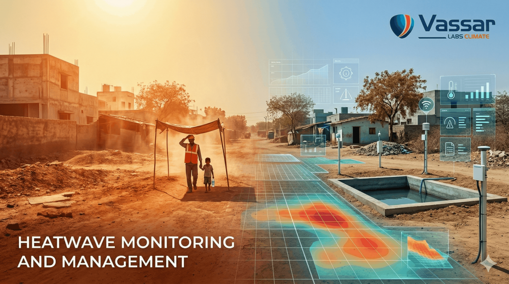
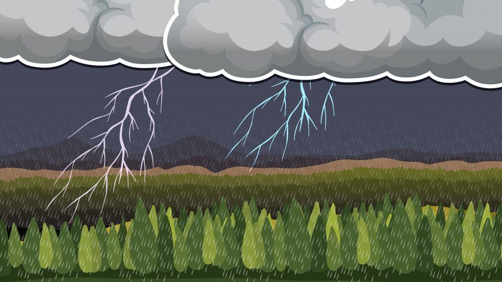
According to the World Bank, more than 750 million people across South Asia have been affected by at least one natural disaster – whether flooding, drought, or cyclones, in the past two decades alone. Within this grim context, water-related disasters represent a particularly insidious threat. When cyclone disaster strikes, they don’t just bring wind and rain; they trigger cascading failures across water infrastructure- burst dams, overflowing irrigation tanks, uncontrolled reservoir spilling, and flash flooding, often claiming more lives than the cyclonic winds themselves.
In India, the statistics are equally stark. Over the past 30 years, climate disasters have claimed nearly 80,000 lives and cost the nation economic losses, according to Germanwatch’s Climate Risk Index. Among the hardest-hit states are the cyclone-prone coastal regions of Andhra Pradesh, Odisha, and Tamil Nadu. For decades, these states experienced secondary water disasters largely unmanaged because the systems controlling and monitoring water infrastructure operated on human timescales – slow for the speed of crises.
Yet Cyclone Montha in October 2025 demonstrated a fundamentally different reality. When the severe cyclonic storm struck Andhra Pradesh with wind speeds of 90–110 km/h and unprecedented rainfall, state authorities faced an unprecedented challenge: managing irrigation tanks and reservoirs across the state, all simultaneously under pressure. But this time, real-time digital intelligence guided every decision. The result was that zero water-related fatalities in monitored regions and coordinated mitigation across thousands of critical infrastructure points simultaneously- a historic achievement that offers a blueprint for other water-stressed regions facing intensifying climate hazards.
The Old Model: Information Fragmentation in Crisis
Before integrated digital systems, water disaster response followed a predictable pattern. State water resource departments, disaster management agencies, and field engineers each operated with incomplete information. Rainfall data from one station didn’t reach reservoir controllers on the other side of the state. Tank water levels weren’t monitored in real time. When early warning systems arrived, they were broad and generic, rather than precise.
Without unified visibility, coordination was manual and slow. Field teams received contradictory information from multiple sources. Relief distribution was reactive, responding to failures after they occurred rather than preventing them. During Cyclone Hudhud in 2014, this fragmentation meant that despite significant manual coordination efforts, 61 people died and water-related secondary disasters compounded the overall devastation across 9.2 million affected people.
The problem wasn’t lack of technology. It was slow integration. Data existed everywhere – in rainfall stations, reservoir sensors, satellite archives, forecasting models, but couldn’t be synthesized into the unified operational picture that crisis response demanded.
The Intelligence Revolution: Real-Time Unification
Over the past seven years, Andhra Pradesh gradually built APWRIMS (Andhra Pradesh Water Resources Information and Management System) as its answer to information fragmentation. The platform represented a fundamental shift: not just collecting more data, but synthesizing diverse data streams into real-time water management intelligence
APWRIMS integrated:
– 2,000+ rainfall monitoring stations feeding real-time precipitation data
– 155 automatic water level sensors in major reservoirs and water bodies
– 1,800 piezometers tracking groundwater conditions
– Satellite-based water detection across 38,000 minor irrigation tanks using Sentinel-1 imagery and deep learning
– Meteorological forecasts from India Meteorological Department and ECMWF
– AI-powered predictive algorithms that translate raw data into risk scores and alerts
By 2024, the system had matured into APWRIMS 2.0, adding real-time cyclone tracking (Nowcast integration) and a GenAI Copilot for conversational intelligence. More importantly, it created a unified operational framework: multiple state agencies, district collectors, and field teams all accessed the same data, the same intelligence, the same situational awareness.
Cyclone Montha: When Preparedness Meets Real-Time Action
When Montha approached in late October 2025, APWRIMS enabled something unprecedented in Indian disaster management: precision-targeted preparedness.
Pre-Landfall Intelligence:
Days before Montha made landfall, APWRIMS analyzed cyclone projections, rainfall forecasts, and water body conditions to identify exactly which 5 reservoirs and 1,307 MI tanks faced elevated risk. Rather than issuing blanket alerts across all 31,000+ tanks, the system generated hyper-localized risk maps. District officials knew precisely which infrastructure to prioritize, which field teams to mobilize, and where to stage emergency equipment.
Real-Time Operational Coordination:
As the cyclone struck, APWRIMS transformed from a just a monitoring platform into an operational command platform. The State Control Room accessed live dashboards showing:
– Current water levels in every monitored tank and reservoir
– Real-time rainfall intensity across all affected zones
– Automated alerts on structures approaching critical thresholds
– AI-recommended water release schedules to prevent catastrophic spillway activation
– Status updates on field interventions already underway
Chief Engineers, Superintending Engineers, and Division Engineers across four irrigation regions no longer operated in information isolation. They accessed the same unified picture and coordinated through it. When a tank approached 95% capacity, the system automatically recommended spillway activation and dispatched that recommendation to the nearest field team with a timestamp and location coordinates.
Post-Crisis Assessment:
Within hours of the cyclone passing, APWRIMS leveraged satellite imagery to assess water spread changes, detect potential breaches, and identify tanks requiring emergency repair. This assessment-in-real-time capability allowed authorities to prioritize recovery resources and prevent secondary disasters.
The Impact and Recognition
According to government records and initial assessments, zero human fatalities occurred from water infrastructure failures in the regions under APWRIMS monitoring – a historic achievement for a cyclone of this magnitude hitting a state managing over 31,000 water bodies.
While Cyclone Montha caused an estimated ₹53 billion in total damage across Andhra Pradesh, the vast majority was agricultural loss and wind damage to buildings. Water-related disasters – the secondary cascade of uncontrolled flooding, tank breaches, and spillway failures, were prevented through real-time coordination.
Compare this to Cyclone Hudhud in 2014, when similar coastal exposure and affected areas saw 61 deaths and widespread water infrastructure failures. The difference wasn’t better weather forecasting or new sensor technology. It was the ability to act on intelligence at the speed of crisis.
Andhra Pradesh’s Joint Director of Water Resources, Shri Srinivasu, formally acknowledged APWRIMS’ critical role in the disaster response. Chief Minister N. Chandrababu Naidu recognized the platform as central to the state’s improved preparedness. Major newspapers including Eenadu(October 29, 2025) documented how APWRIMS data guided state command center decisions throughout the crisis.
This recognition carries significance beyond Andhra Pradesh. Other Indian states are now studying APWRIMS as a model for their own water management systems. The platform’s success during Cyclone Montha offers proof that integrated, AI-powered water intelligence isn’t a luxury for wealthy states but an essential public service for any region managing large-scale water infrastructure.
The Future of Water Governance and Management
The journey from Cyclone Hudhud’s fragmented response (2014) to Cyclone Montha’s coordinated intelligence-driven action (2025) represents more than technological progress. It represents a new paradigm for how governments can organize themselves to meet the complexities of climate change and water stress.
For state and national policymakers, the lesson is clear: building climate resilience requires building the digital public infrastructure that enables real-time decision-making at scale. For other water-stressed regions, APWRIMS offers a template: integrate your data sources, deploy AI analytics, create unified command frameworks, and train your stakeholders to work through shared intelligence rather than fragmented information.
Cyclone Montha could have been a repeat of the previous cyclones – devastating, uncoordinated, and tragic. Instead, it became proof of concept: what becomes possible when governance infrastructure is designed for the speed and complexity of modern crises. As the climate crisis accelerates, systems like APWRIMS will not be innovations but necessities.