

What Is Digital Public Infrastructure (DPI) for Agriculture?
The three-layer model reshaping how governments deliver farm services.

The three-layer model reshaping how governments deliver farm services.
The Future of Disaster Management: Why India Needs AI-Powered Decision Intelligence, Not Just Early
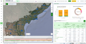
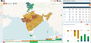
Inside the design of a state-scale agriculture intelligence platform
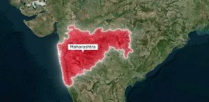
Explore how Maharashtra built agricultural digital public infrastructure using AI, remote sensing, and precision

Extreme heat is rising across India. Learn why early heatwave alerts are critical and