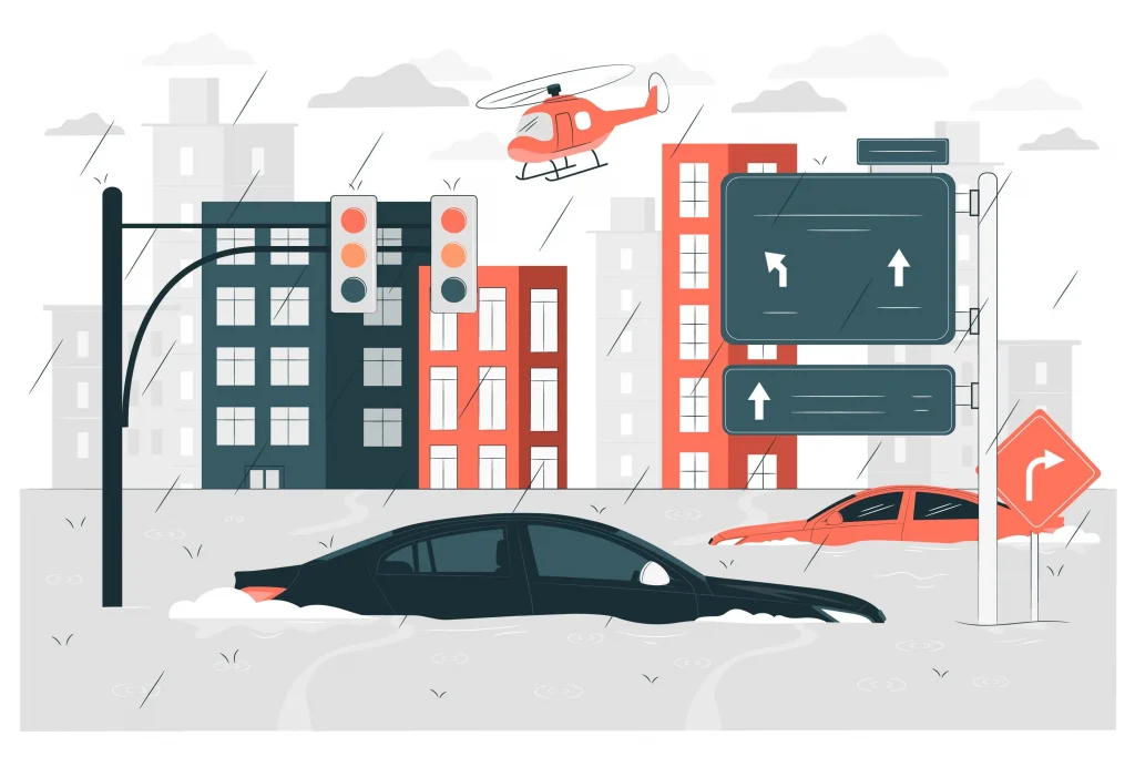
Cyclone-prone Indian states such as Andhra Pradesh, Odisha, and West Bengal have long faced cyclical devastation from intense tropical storms. Every few years, severe cyclones disrupt the lives and livelihoods of millions, with agriculture, India’s economic backbone, bearing the brunt of nature’s fury. The recent Cyclone Montha was another harsh reminder of this vulnerability: in Andhra Pradesh alone, nearly 1.58 lakh hectares of farmland were damaged and economic losses were estimated at a staggering ₹5,244 crore. But this time, the digital transformation of disaster response mechanisms meant that farmers, administrators, and relief agencies met this calamity with unprecedented speed, transparency, and resilience.
Indian Agriculture on the Frontlines of Nature
Year after year, cyclones leave behind a trail of wilting crops, inundated fields, and distressed farming families. Previously, farmers had to wait weeks for field inspections, manual loss enumeration, and compensation approvals, a process plagued by delays, inconsistencies, and lack of reliable data.
Without digital systems, authorities could not quickly assess the scale of damage or prioritize interventions. As a result, relief distribution was often reactive, fragmented, and frustratingly slow, especially for small and marginal farmers in coastal belts who rely on seasonal harvests for survival.
Old Problems, New Solutions
Until recently, crop loss assessments depended entirely on manual field visits of field officers and ground inspectors and paperwork-heavy processes. The lack of reliable geospatial data made verification difficult, often leading to disputes over compensation.
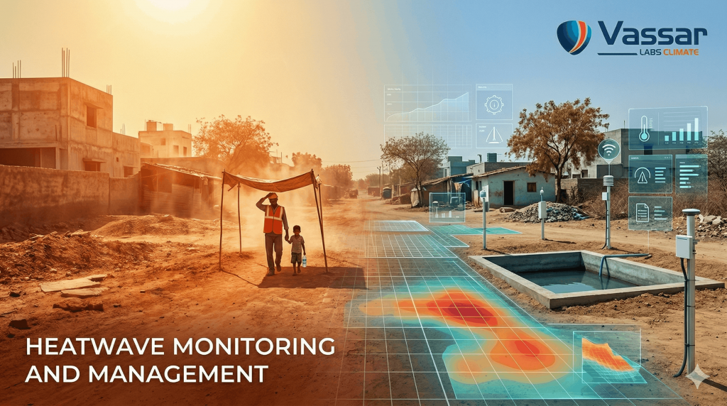
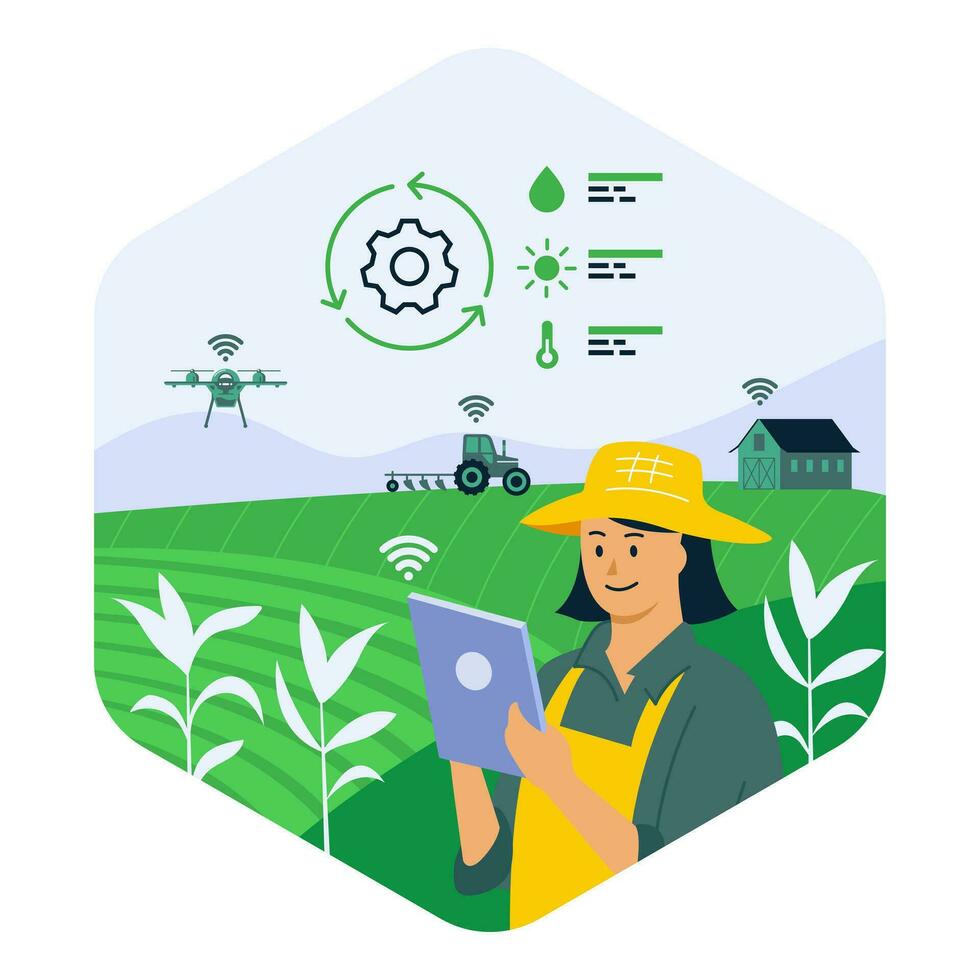
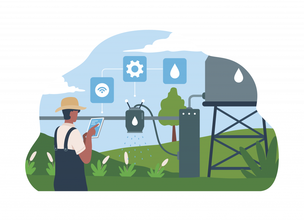
However, over the past few years, technology has quietly revolutionized this system. Tools like AI-powered analytics, satellite-based remote sensing, and cloud-based monitoring dashboards are enabling governments to respond faster and more accurately to climate-induced shocks.
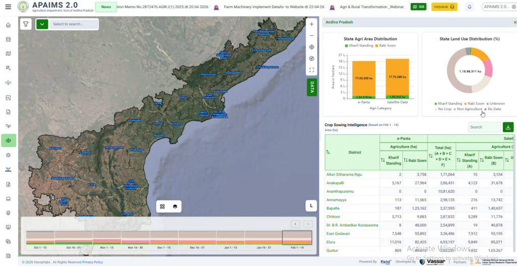
The integration of real-time weather data, IoT sensors, and satellite imagery into decision platforms like APAIMS has made data-backed disaster management not just possible, but practical at scale.
Cyclone Montha’s Aftermath and Andhra’s Quick Response
When Cyclone Montha struck Andhra Pradesh in late October 2025, the scale of destruction was massive: vast stretches of paddy, maize, and horticultural crops lay inundated, and farmers in vulnerable districts braced for uncertain times.
But this time, the state government’s preparedness was guided by data. Through APAIMS (Andhra Pradesh Agriculture Information Management System), authorities had access to geo-referenced land data, crop maps, and predictive analytics, giving them a head start even before the cyclone made landfall.
Well before Montha made landfall, APAIMS enabled authorities to identify and digitally map 6.23 lakh acres of farmland deemed most vulnerable to the cyclone’s likely path.
Farmers across these zones received over 69 lakh targeted alert SMS messages on their mobile phones in local languages, advising on immediate safety actions, contingency plans, and post-storm protocols. Using spatial analytics combined with real-time weather forecasts, the platform allowed state and district officials to mobilize resources, assign officers, and preposition relief materials well ahead of the cyclone. This was a sharp departure from previous years, when preparedness was largely reactive.
Tech-Driven Enumeration for Fair, Fast Relief
As the storm receded, APAIMS switched to recovery mode. Leveraging high-resolution satellite imagery, remote sensing data, and geotagged field information, the system generated village-level damage maps for enumeration.
According to
The Times of India, Andhra Pradesh used satellite and meteorological data integrated with APAIMS entries to speed up crop loss assessment across all affected districts.
District officers and agriculture staff, guided by real-time dashboards, validated damage in the field using mobile apps, supported by AI-based cross-verification algorithms that detect anomalies or duplication in claims.
This shift reduced the enumeration timeline from weeks to just days, ensuring that relief and compensation could be processed rapidly and fairly.
The Deccan Chronicle reported that the state’s use of satellite imagery and digital data for post-Montha enumeration represented one of the fastest-ever relief assessments in India.
Transparency and Relief: The APAIMS Difference
Unlike conventional models, APAIMS offers a digital audit trail for every stage, from data collection to compensation disbursal. Each field entry, satellite image, and verification report is timestamped, geotagged, and stored on secure cloud infrastructure, ensuring accountability at every level.
Farmers and officials have access to visual dashboards and digital claim records, minimizing the scope for manipulation or delays.
The Indian Express noted that Special Chief Secretary Buditi Rajasekhar directed district teams to use APAIMS analytics for precise validation and crop loss confirmation, ensuring uniformity, fairness, and accuracy in relief distribution.
The Hindu reported that state officials, guided by APAIMS analytics, were able to validate and process relief claims with a clarity and openness not seen before.
By combining AI, remote sensing, and mobile governance, APAIMS has made disaster response not only faster, but verifiable and transparent.
Transforming the Future: APAIMS as a Model
Over the past five years, with severe cyclones like Titli (2018), Fani (2019), and Gulab (2021) battering the coastal belts, relief and compensation mechanisms have often struggled to keep pace with the growing complexities of climate risk. However, APAIMS’ deployment signals a shift from reliance on manual enumeration to a more scientific, technology-driven approach, one that’s replicable across other vulnerable states.
The platform’s success has already created a ripple effect in the discourse around climate-resilient agriculture, with policy makers and experts citing APAIMS as a benchmark for leveraging AI and analytics in public disaster response. It is, increasingly, a blueprint for the future: a fusion of public digital infrastructure, big data, and field-level action.