

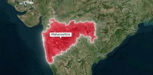
Digitizing 100 Million Farms: Maharashtra’s Leap Toward Precision Agriculture
Explore how Maharashtra built agricultural digital public infrastructure using AI, remote sensing, and precision
At the India AI Impact Summit 2026, Vassar Labs joined global leaders to advance the conversation on AI-driven Disaster Risk Reduction. CEO Nikhilesh Kumar highlighted how digital twins, DPI-enabled platforms, and real-time satellite data are transforming early warning systems and enabling hyperlocal, actionable disaster intelligence.
From forecasting to last-mile response, the session underscored how AI is closing critical gaps in disaster preparedness and resilience at national scale.

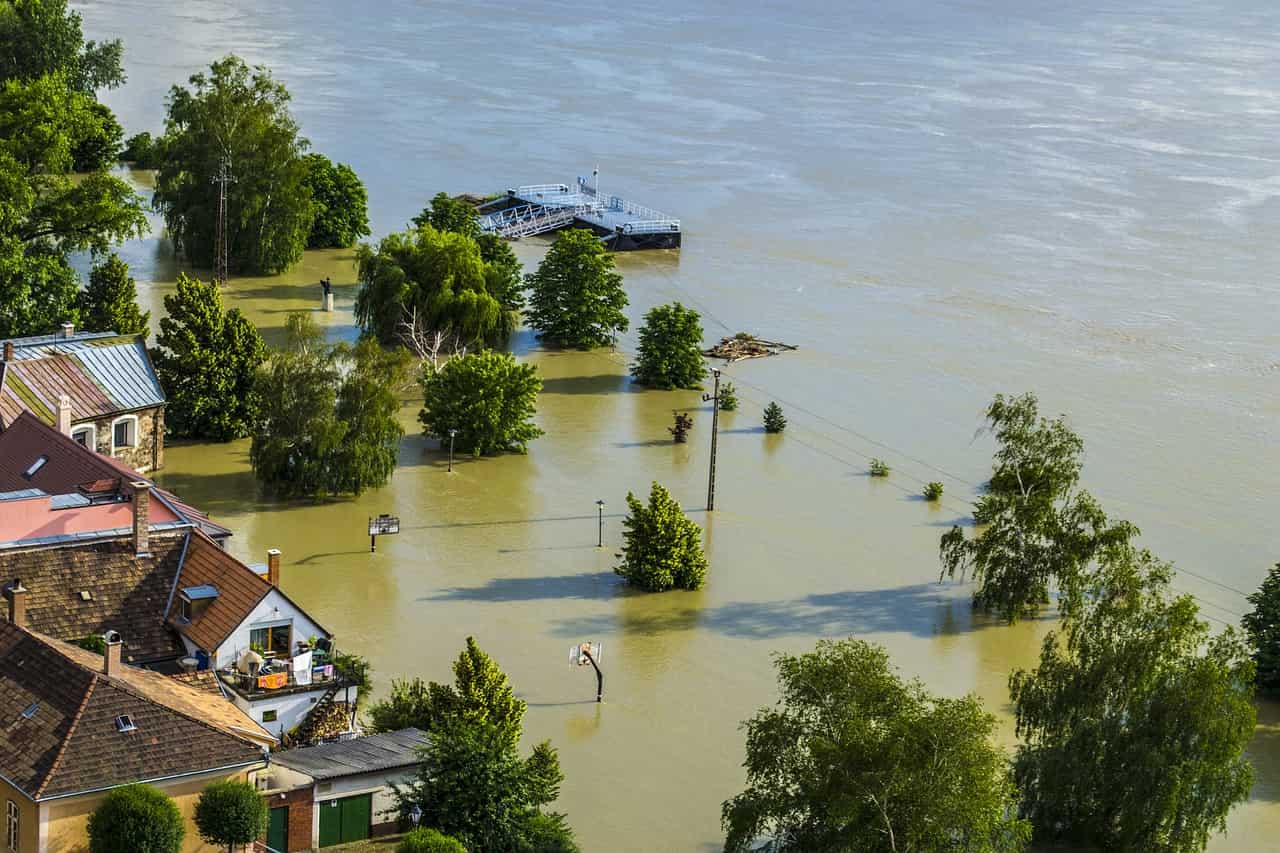
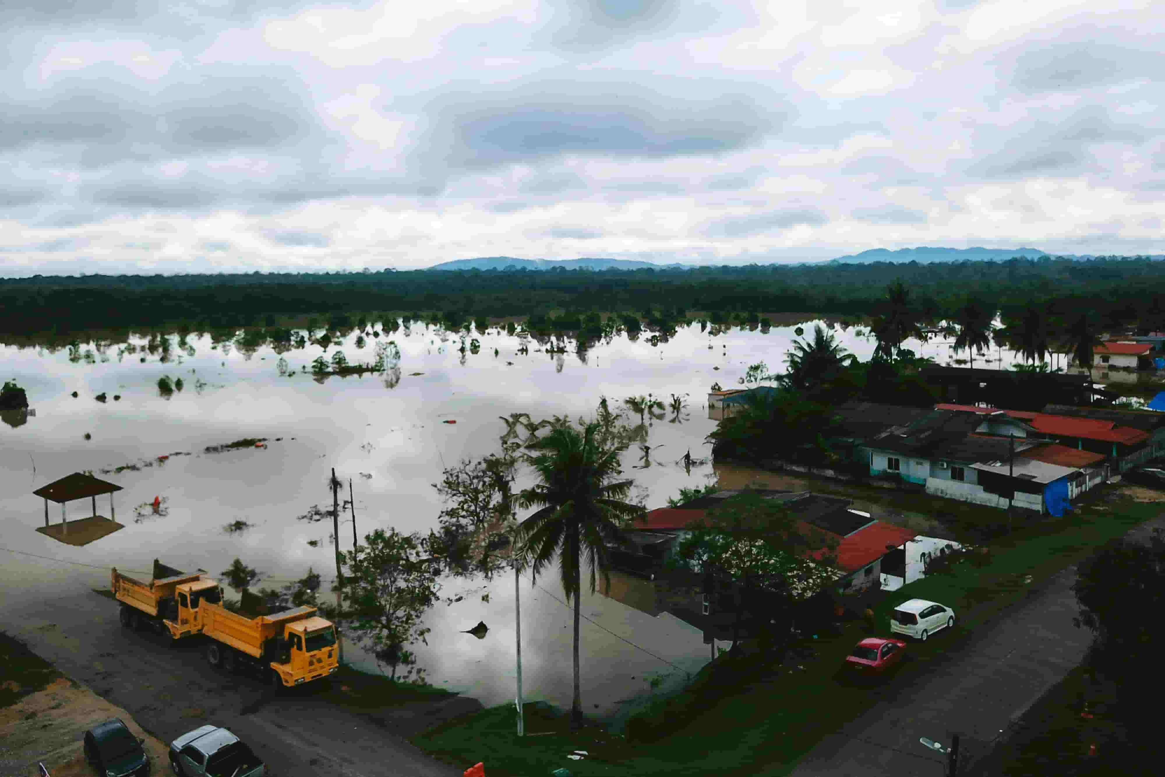
At the National Disaster Management Authority (NDMA) workshop, Vassar Labs highlighted how AI-powered climate technologies, satellite data, and GIS are transforming disaster risk management. From flood forecasting to real-time monitoring, our solutions are enabling governments to build resilience and act before disasters strike. With deployments across India, the Middle East, and Africa, we continue to drive global impact in climate resilience.

Explore how Maharashtra built agricultural digital public infrastructure using AI, remote sensing, and precision

Extreme heat is rising across India. Learn why early heatwave alerts are critical and

Explore how crop yield forecasting has evolved from traditional statistical models to advanced AI
Discover how real-time water quality monitoring with Vassar Labs’ aquaCITY can protect California’s drinking

Explore digital twin frameworks for reservoir and dam safety management. Learn how AI-powered tools