


DPI in Agriculture: A New Blueprint for High-Precision Farming Services
Discover how Agriculture DPI and AI deliver verifiable, high-precision services for crop optimization. Essential

Discover how Agriculture DPI and AI deliver verifiable, high-precision services for crop optimization. Essential

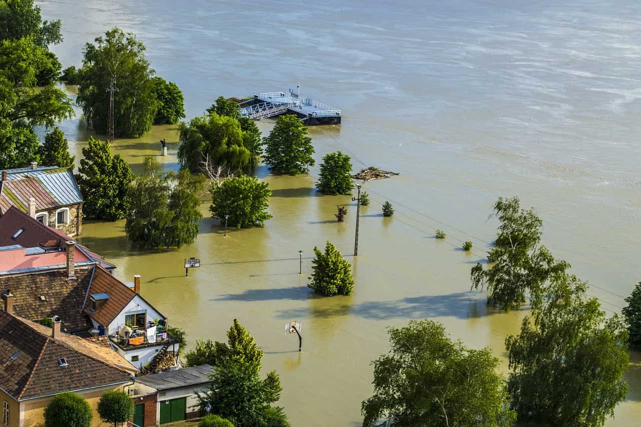
Explore how cities can move from reactive flood management to proactive one by leveraging
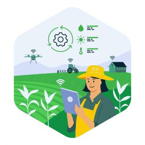
Discover how APAIMS 2.0, powered by VISTAAR and Vassar Labs, is transforming agriculture with

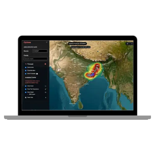
Discover how climate tech startups are using AI, IoT, and satellite analytics to power
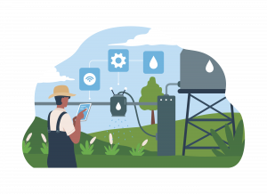
Discover how AI-driven piped irrigation systems can reduce water waste, improve agricultural efficiency, and