
How Satellite Remote Sensing Is Transforming Indian Agriculture
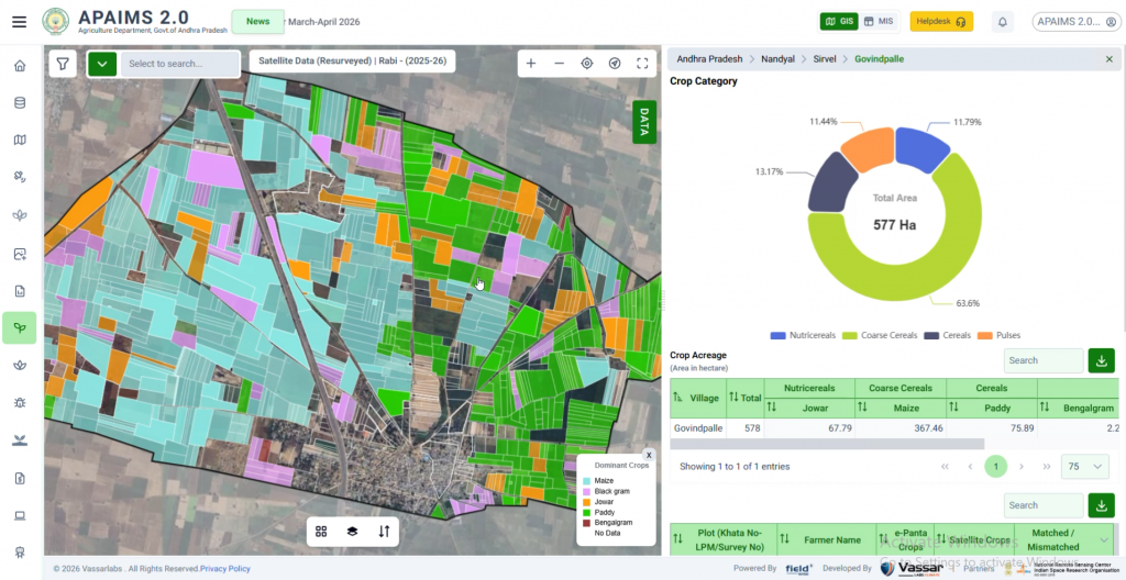
What multispectral and radar imagery can – and can’t – tell us about a field
YES-TECH Explained: How Satellites Estimate Crop Yield for Insurance
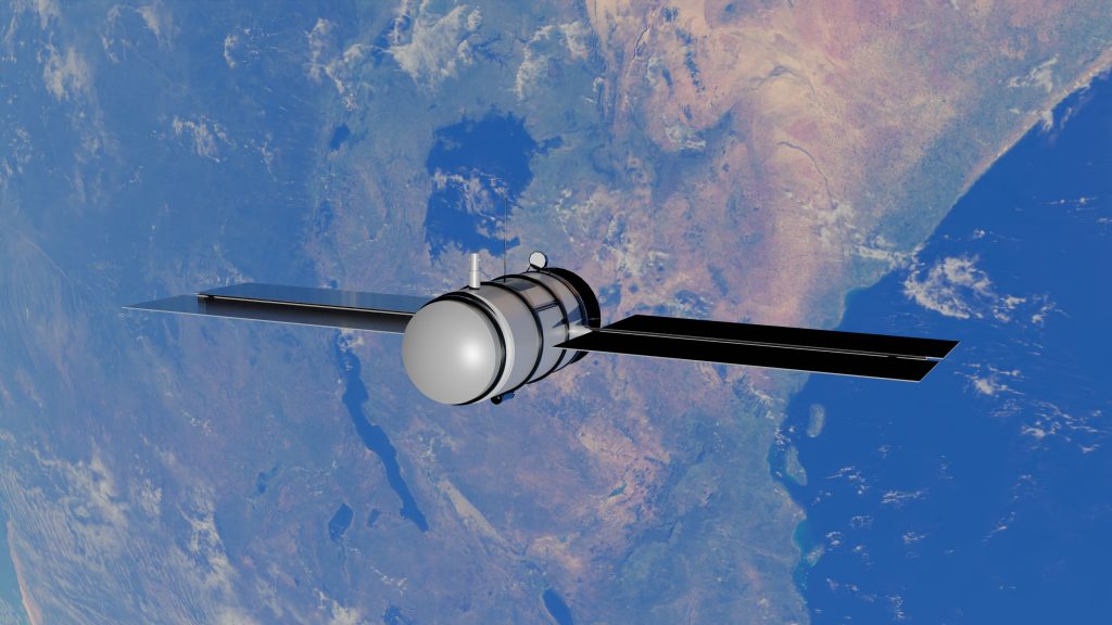
Moving crop insurance beyond manual crop-cutting experiments.
AI-Powered Dry Spell Monitoring for Agriculture & Drought Risk
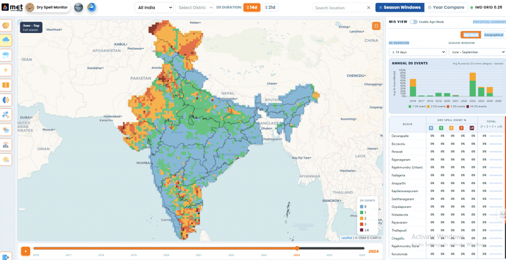
Explore how Repeat Dry Spell Exposure and AI-driven climate intelligence enable proactive drought risk management, water planning, and resilient agriculture.
What Is the Digital Crop Survey (DCS) and Why Every State Needs One
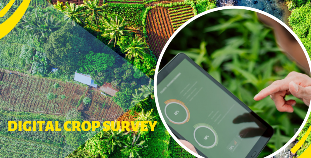
Replacing decades of paper-based crop records with plot-level digital data.
Precision Agriculture Explained: From Satellite to Soil
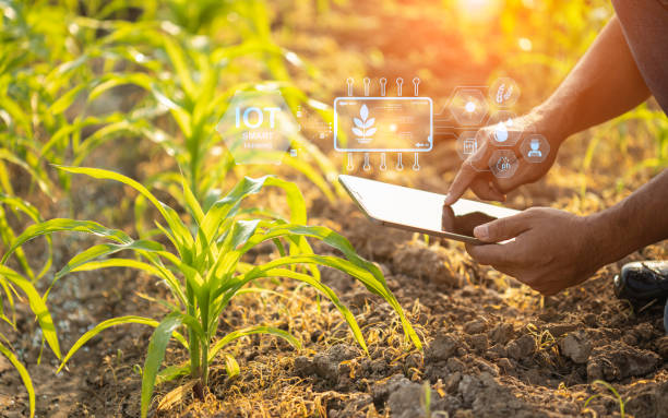
Explore how GIS, sensors, and imagery turn every field into a data point.
The Future of Fertilizer Distribution: From Supply-Driven to Need-Based
Explore how APAIMS 2.0 enables need-based distribution of subsidized Urea and DAP through digital workflows, helping farmers access the right fertilizer at the right time.
What Is Digital Public Infrastructure (DPI) for Agriculture?
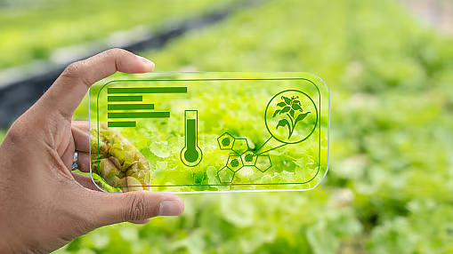
The three-layer model reshaping how governments deliver farm services.
The Future of Disaster Management: Why India Needs AI-Powered Decision Intelligence, Not Just Early Warnings
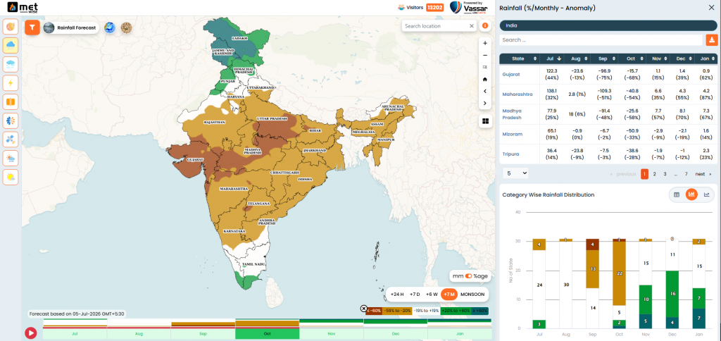
The Future of Disaster Management: Why India Needs AI-Powered Decision Intelligence, Not Just Early Warnings Disasters cannot always be prevented, but their impact can be dramatically reduced when governments have the right information at the right time. Climate change has fundamentally altered the way disasters unfold across the world. Floods are becoming more frequent, heatwaves […]
How Andhra Pradesh Built APAIMS
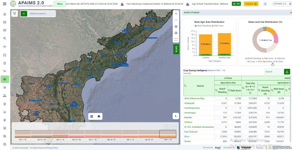
Inside the design of a state-scale agriculture intelligence platform
Need-Based Fertilizer Distribution: Right Input, Right Time
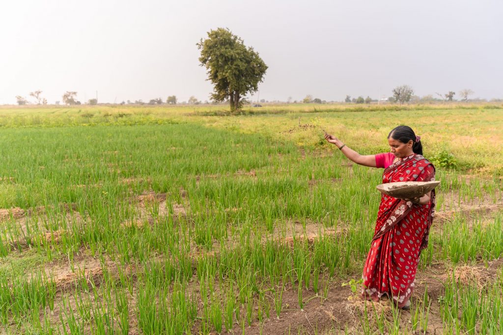
How digitally connected fertilizer distribution—from MAO to retailer to farmer—cuts waste, prevents leakage, and delivers measurable ecological benefits.