Andhra Pradesh is laying the path for India’s agricultural renaissance. Anchored in the progressive VISTAAR framework, APAIMS 2.0 is redefining how we think about Digital Public Infrastructure (DPI) in agriculture – setting a new benchmark for states across the nation. By integrating real-time data, AI, and farmer-centric digital services, the state is proving that technology can create a sustainable, inclusive, and climate-smart agriculture ecosystem. It is also bridging the long-standing digital divide between farmers and the agriculture department, ensuring equitable access to information, entitlements and services.
The Foundation – APAIMS 1.0
Launched in 2017-18, APAIMS 1.0 was a pioneering step in digital agriculture governance. It safeguarded over 800,000 hectares from pest damage, provided sowing advisories across more than 12,000 villages, and optimized fertilizer use across 18,000 villages.
The system built a strong data infrastructure and institutional capacity, enabling policymakers and field officers to manage risks proactively. This digital foundation was critical in moving from pilot-scale interventions to a fully integrated Agriculture DPI.
As highlighted in the FAO’s Digital Transformation in Action Report, such early investments in digital systems are vital for scaling farmer services. Andhra Pradesh stands out as one of the first Indian states to implement this at significant scale.
The Leap to APAIMS 2.0: A Unified Agriculture DPI
APAIMS 2.0 is Andhra Pradesh’s bold leap toward a full-fledged Agriculture DPI. It aligns with national frameworks like AgriStack, Soil Health Card, PM-KISAN and the Digital Crop Survey, ensuring interoperability and scalability across platforms.
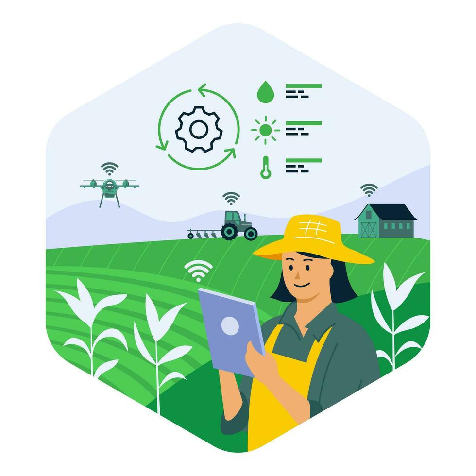
What sets APAIMS 2.0 apart is its real-time, inclusive and farmer-first design. The system connects cultivators, agriculture officers, FPOs and enterprises in one seamless digital ecosystem, transforming fragmented services into a unified agricultural backbone.
According to the World Bank, such digital agriculture platforms are essential to bridge the gap between farmers and policymakers, making agriculture more resilient, transparent and efficient.
Core Modules and Their Capabilities
APAIMS 2.0’s strength lies in its integrated modules, each designed to solve real-world challenges through advanced technologies:
- Unified Cultivator & Agriculture Database: A single source of truth linking the farmer, farm and crop. Built using Aadhaar-linked IDs, geo-referenced land records and satellite data, it enables targeted advisories, transparent scheme delivery, and minimizes duplication in beneficiary lists.
- Department Official Mobile Application: Functions like an ERP for agriculture officers, offering real-time dashboards, geo-tagged field inspection reports and task management. GPS integration ensures accountability, while AI-based analytics prioritize inspections and resource allocation.
- Pest & Disease Forewarning: Combines AI, remote sensing and satellite imagery with ground truthing. Using pest surveillance data, weather models and NDVI vegetation indices, it predicts pest outbreaks days in advance, helping farmers act preventively rather than reactively.
- Schemes Monitoring & Entitlements: Integrates with direct benefit transfer (DBT) systems, ensuring farmers no longer need to stand in long queues or deal with middlemen for scheme access. It ensures transparency and reduces leakages in subsidies and insurance payments.
- GenAI Assistant for Officials: An AI-driven chatbot and voice assistant that provides instant insights on crop conditions, scheme guidelines and field queries. Officials can now resolve farmer issues on the spot.
- Agro-Climatic Zone (ACZ) Crop Planning: Uses climate, soil and water availability data to recommend the most suitable crops for each zone. Machine learning models process decades of weather data and soil profiles to optimize productivity and reduce risk.
- Monitoring & Evaluation: Automates scheme implementation monitoring, and grievance redressal. IoT-enabled field inspections ensure accurate, tamper-proof reporting.
- WhatsApp Governance: Farmers receive voice-based advisories, weather alerts and pest warnings in their local language. WhatsApp bots provide two-way interaction, reducing dependence on physical visits to government offices.
- Pictorial Disease Detection: Farmers can upload crop images via mobile apps. AI image recognition detects diseases and suggests remedies instantly, reducing time lost in field inspections.
Services for Stakeholders – Solving Real Challenges
APAIMS 2.0 delivers tangible benefits by addressing the pain points faced by different stakeholders:
- For Farmers: No more standing in long queues to apply for subsidies, access crop advisories or register complaints. Farmers now receive sowing, irrigation, pest and weather advisories directly on their phones. They get soil health card-based fertilizer recommendations, yield predictions and price trend forecasts, enabling them to reduce input costs and increase income. Extreme weather alerts protect them from climate shocks. The system ensures farmers are directly connected to the agriculture department, reducing the digital divide.
- For Agriculture Officers: Instead of relying on outdated records and manual inspections, officers now have dashboards showing real-time crop conditions, pest outbreaks and scheme performance. GenAI assistants help answer farmer queries on the spot, reducing dependency on higher offices and cutting delays in service delivery.
- For FPOs & Enterprises: Gain access to aggregated insights on crop patterns, soil fertility and yield forecasts. This supports market linkages, resource planning and traceability across supply chains, reducing inefficiencies and improving profitability.
Services for Stakeholders – Solving Real Challenges
Since its rollout, APAIMS 2.0 mobile app has witnessed almost 100% adoption by agriculture officers across Andhra Pradesh, transforming how they manage field operations. Officers now use the mobile app for geo-tagged inspections, pest monitoring, and real-time crop assessments. What earlier required multiple visits, paperwork, and delays is now available at their fingertips, allowing them to serve farmers faster and more effectively.
This rapid adoption underscores how user-friendly digital DPI platforms can build trust among farmers, officials and enterprises.
Expected Outcomes
The impact of APAIMS 2.0 goes far beyond individual use cases. It promises:
- Enhanced productivity and risk reduction: Precise, data-backed advisories reduce input misuse and protect against pest outbreaks.
- Resilient policymaking: Real-time insights help anticipate droughts, pest attacks and floods.
- Transparent scheme delivery: Direct transfers and entitlements restore farmer trust in governance.
- Faster disaster and insurance response: Remote sensing and AI yield models speed up claim settlements, protecting farmers in crisis.
- Climate-smart agriculture practices: AI-driven crop planning ensures sustainable soil and water use.
- Gross Value Added (GVA) maximization: By aligning schemes, inputs and advisories with real-time field conditions, APAIMS 2.0 aims to boost the agricultural GVA of Andhra Pradesh significantly, turning data into economic growth.
Andhra’s Vision for India
APAIMS 2.0, built on FieldWISE by Vassar Labs and implemented with the Government of Andhra Pradesh, is not only a state project – it’s a blueprint for India’s agricultural future.
By embedding AI, IoT and satellite intelligence into everyday agriculture, Andhra Pradesh demonstrates how digital infrastructure can make farming inclusive, climate-resilient, and future-ready.
Aligned with the vision of Viksit Bharat, APAIMS 2.0 proves that the future of agriculture lies not just in seeds and soil, but in data and digital public goods – building a foundation for sustainable prosperity.