
Leverage Disaster early warnings & assessments for timely risk mitigation
Vassar Labs offers a comprehensive disaster risk management solution powered by AI algorithms, providing real-time weather insights tailored to any location. Our platform enables continuous monitoring of extreme events and their impact zones, facilitating early warning notifications and precise damage assessments to support effective risk mitigation strategies.
With a focus on safeguarding populations and infrastructure, we empower decision-makers with the critical information needed to respond swiftly and minimize the impact of natural disasters.
ontinuous monitoring of extreme weather events, providing early warnings for floods, cyclones, heatwaves, and droughts, alongside damage assessment capabilities to enhance disaster response."
Forecast weather patterns and inflows at reservoir/basin levels along with inundation mapping. Further, get early alerts on incoming floods for optimal management
Simulate flood risk in 3D at any geography or at an individual property level. Detailed inundation map will cite insights on impacts and take preventive action.
Detect periods of excessively high temperatures and get timely early alerts on heatwave. Further, enable proactive measures to mitigate environmental risks.
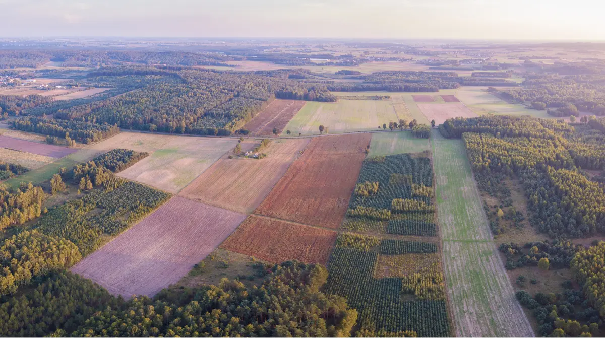
Assess various weather related indicators and understand drought conditions ahead of time to further implement smart mitigation strategies.
Forecast weather patterns and inflows at reservoir/basin levels along with inundation mapping. Further, get early alerts on incoming floods for optimal management
Get alerts on intense rainfall events, monitor atmospheric conditions of areas prone to flash floods. Early dissemination of warnings enables authorities to take timely measures, reducing the risk.
Facilitate early detection of forest fire and minimize the spread of fires. Also get realtime status of fire break completion and damage analysis with environmental impact assessments.
The system employs advanced algorithms to provide real-time alerts and precise forecasts, safeguarding communities and infrastructure.
Rapid and scalable deployment for immediate impact, scalableright from individual household level to block, ccounty, state and country level.
Easily customisable platform requiring no coding knowledge. Easy one click integrations and plug and play modules.
Our platform offers a seamless integration of diverse data sources, enabling a unified environment where information from IoT sensors, satellite imagery, SCADA systems, and more can be harmoniously combined.
Harnessing the power of cloud technology for efficient and flexible water management.
Empowering clients with ease in capacity building to ensure smooth adoption and utilization.
Implemented at Periyar River Basin scale for flood risk mitigation, curb damage of flash floods with early warnings and inundation mapping.
An assessment tool which simulates flood risk to any geography or at individual property level in 3D
State-level inflow forecasts, empowering governments and water managers with actionable insights.
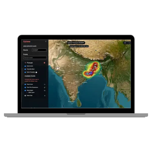
A unified system for weather monitoring, and alerts for flood, cyclone, heatwaves, cyclones, drought, etc.

At Vassar Labs we make innovation fall into action and create solutions that matter to people. We are passionately working towards a sustainable future by harnessing smart technologies to build climate resilient solutions for water, agriculture, power, land and disaster management.
Copyright © 2024 Vassar Labs, All rights reserved.