
An integrated agriculture platform equipped with a cutting-edge decision support system that leverages technologies like IoT, remote sensing, and AI/ML. fieldWISE emerges as the beacon of innovation, offering a comprehensive solution for climate resilient agriculture.
Digital Farming Platform Powered by GIS, Remote Sensing, IoT, AI and MLL for Climate Change Adoption
fieldWISE empowers the agriculture ecosystem towards data-driven decisions to improve crop success rates by monitoring risks and identifying interventions in near real-time in the age of adverse climate change.
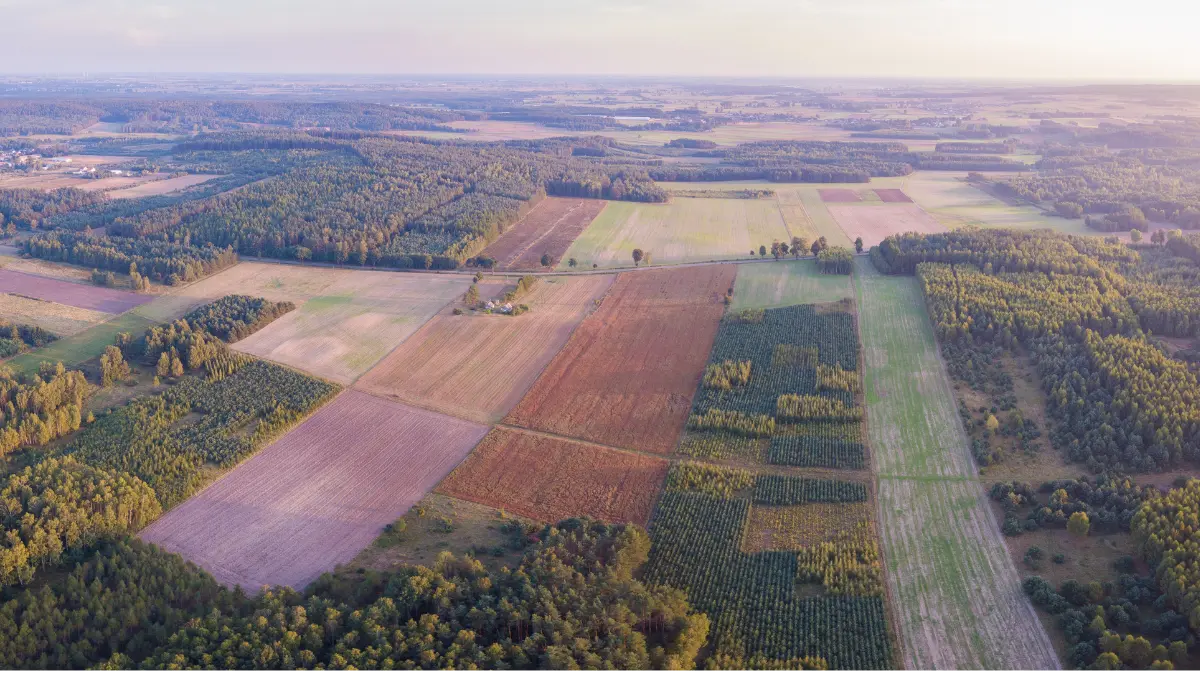
Farms produce thousands of data points on the ground daily. With the help of fieldWISE, we can now analyze a variety of things in real-time such as weather conditions, climatic risks, soil moisture, water usage, pests and diseases, crop health, and soil conditions. fieldWISE acts as one authoritative system that is scalable from the farm level to block, district, state, and country levels.
Enable various decisions that need huge data inputs, forecasted weather, and various physical characteristics, using artificial intelligence, and machine learning algorithms. For example, sustainable reservoir operations, irrigation planning, water conservation planning, minimizing floods, water cascades, etc.
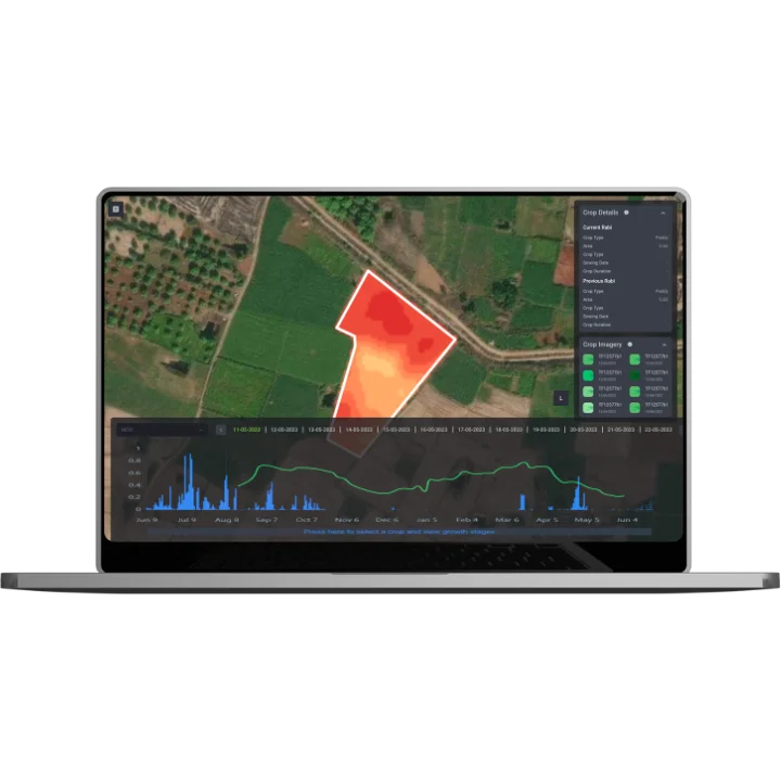
Utilizes AI on high-resolution satellite data to accurately map agricultural field borders.
Organizes land ownership and plot details into a comprehensive digital repository.
Utilizes Remote Sensing and AI/ML to map specific crops grown on individual plots.
Assists farmers in selecting suitable crops based on soil, weather, and market factors.
Employ cutting-edge satellite image processing for precise crop type classification and distribution analysis.
Recommends nutrient corrections based on soil health card data.
AI-based identification of crop pests and diseases for timely intervention.
Systematically evaluates agricultural output and organizes farming activities for optimal productivity.
Monitors harvesting progress using satellite imagery for efficient yield management.
Provides timely alerts and strategies for mitigating the impact of environmental extremes on agriculture.
Evaluates land suitability, weather patterns and capacity for irrigation to optimize water resource management.
Assists users through chat or voice-based queries on weather, pest/disease prediction, irrigation, market prices, and government schemes.
Rapid and scalable deployment for immediate impact, scalableright from individual household level to block, ccounty, state and country level.
Easily customisable platform requiring no coding knowledge. Easy one click integrations and plug and play modules.
Our platform offers a seamless integration of diverse data sources, enabling a unified environment where information from IoT sensors, satellite imagery, SCADA systems, and more can be harmoniously combined.
Harnessing the power of cloud technology for efficient and flexible water management.
Empowering clients with ease in capacity building to ensure smooth adoption and utilization.
Gaining visibility into every crop field of the state.
Gaining visibility into every crop field of the state to optimize water usage and gain get farm insighs.
1st of it’s kind unified system for all agri related data from across the state.
Stay updated with the latest innovations in climate technology with first-mover use cases and blogs.
Explore Climate technology solution with Vassar Labs – Pioneers in technology platform for effecient water managemnet, precision agriculture, smart city services, energy and disaster

At Vassar Labs we make innovation fall into action and create solutions that matter to people. We are passionately working towards a sustainable future by harnessing smart technologies to build climate resilient solutions for water, agriculture, power, land and disaster management.
Copyright © 2024 Vassar Labs, All rights reserved.